
What is recorded here
Situated on a rise in a fairly level landscape. The faint cropmark of a circular area (diam. c. 25m) defined by a single fosse is visible on Google Earth (12/07/2013). It is also visible on Digital Globe (c. 2013) SW-N-SE. It was first reported by Jean Charles Caillere.
See the attached enhanced view from Google Earth (2013)
Compiled by: Michael Moore
Date of upload: 3 June 2020
The monument record does not grant public access. Check the route and ask the landowner before entering private land.
- What survives
- Recorded monument
Places near here
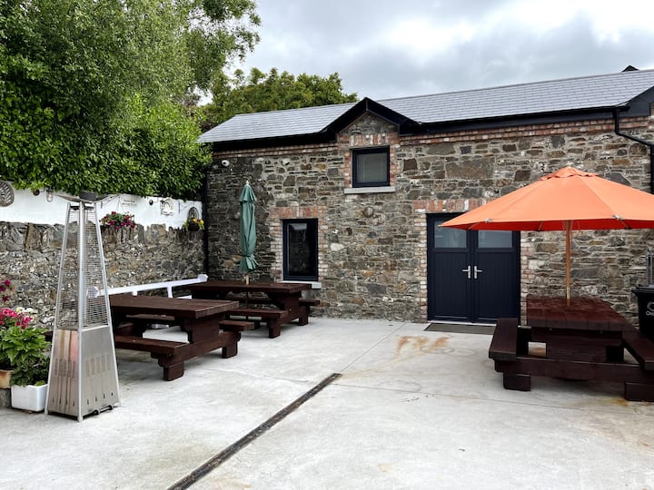 Enclosure in StonylaneEnclosure · 258 yd
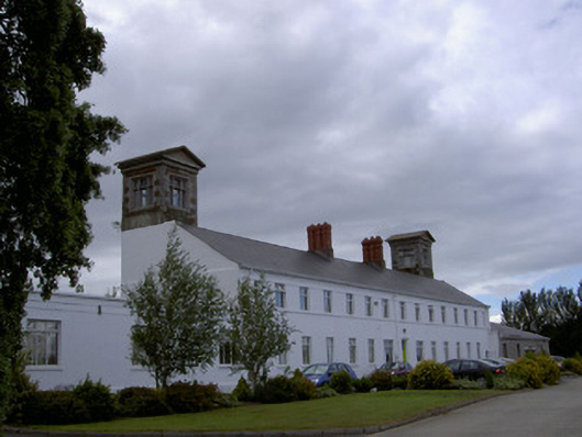 workhouseworkhouse · 928 yd
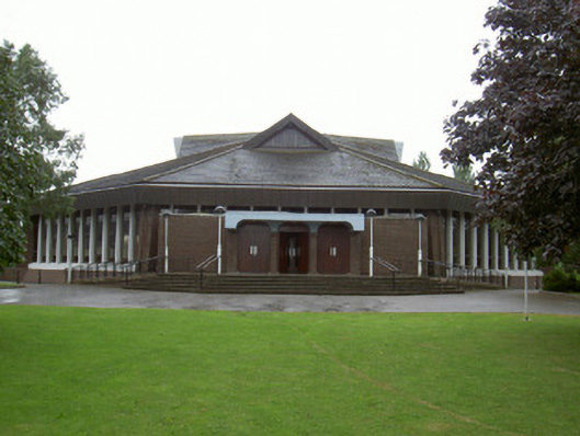 Catholic Church of the Nativity of Our Ladychurch/chapel · 1035 yd
 European White ElmEuropean White Elm · 1141 yd
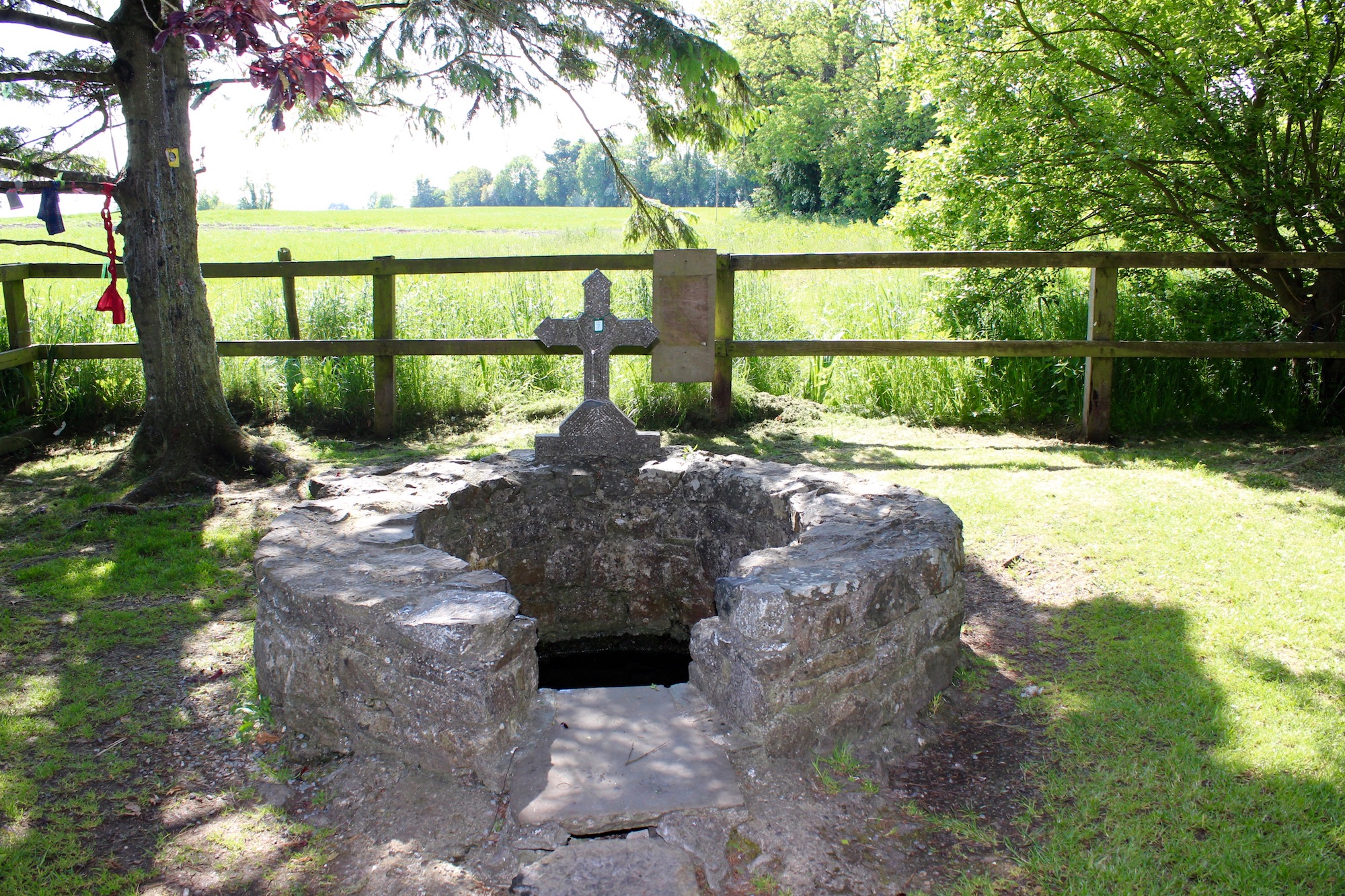 Holy well in BlakestownHoly well · 1346 yd
 CastleCastle, tower house · 1357 yd
 Sir Frederick Foster MemorialMemorial · 1719 yd
 Dawsons MoatCastle, motte and bailey · 1.2 mi
 Lebanon CedarLebanon Cedar · 1.6 mi
 Screedoge HillMountain / peak · 1.8 mi
 Graveyard in StickillinGraveyard · 2.0 mi
 Mount OrielMountain / peak · 4.0 mi
Other information
Photo: Credit not shown in the picture search · Rights wording not checked; contact us if this picture should be removed