
What is recorded here
Located on top of a hillock that was once on the demesne of Stephenstown House. The cropmark of a rectangular feature (dims c. 52m NW-SE; c. 46m NE-SW) defined by straight sections of a ditch on the SW and NE sides is visible on an Aerial Premium (2013-18) image. The enclosure is cut by a NE-SW field bank and the NE and SE sides are not visible as they are in pasture. It is also visible on OSI images (1995) where it is divided in two by a NE-SW drain and the SW side extends off to the SE. It was first reported by Jean Charles Caillére.
See the attached enhanced view from Aerial Premium (2013-18)
Compiled by: Michael Moore
Date of upload; 21 January 2022
The monument record does not grant public access. Check the route and ask the landowner before entering private land.
- What survives
- Recorded monument
Places near here
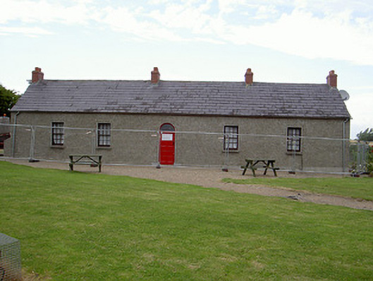 Agnes Burns Cottagehouse · 454 yd
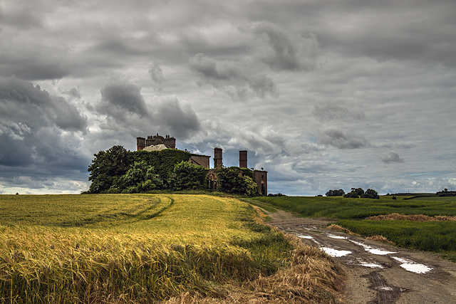 Stephenstown Housecountry house · 519 yd
 CastleCastle, tower house · 1006 yd
 Enclosure in Cavan (dundalk Upr By; Dunbin Par.)Enclosure · 1188 yd
 Man-made underground passage in BallinloughMan-made underground passage · 1262 yd
 Dunmahon CastleCastle, tower house · 1.5 mi
 BallybarrackMountain / peak · 2.0 mi
 Photo GalleryHeritage attraction · 3.4 mi
 Dundalk CentralHeritage attraction · 3.4 mi
 Maid of ErinMemorial · 3.8 mi
 Bombing 1975Memorial · 3.8 mi
 Soldiers' PointHeadland · 5.5 mi
Other information
Photo: Credit not shown in the picture search · Rights wording not checked; contact us if this picture should be removed