
What is recorded here
On the gentle lower slopes of the NE side of the Nore river valley, in rolling pasture. The land rising to the NE and E and drops away to the S and W. A circular area (diam. c. 16m) enclosed by wide fosse, showing as cropmark on an aerial photograph (CUCAP BDI032, 14 July 1970) and on satellite imagery (Google Earth 10 June 2008). It is not visible at ground level.
See attached Google Earth image (imagery date 10 June 2008)
Compiled by: Jean Farrelly
Date of upload: 11 May 2020
The monument record does not grant public access. Check the route and ask the landowner before entering private land.
- What survives
- Recorded monument
Places near here
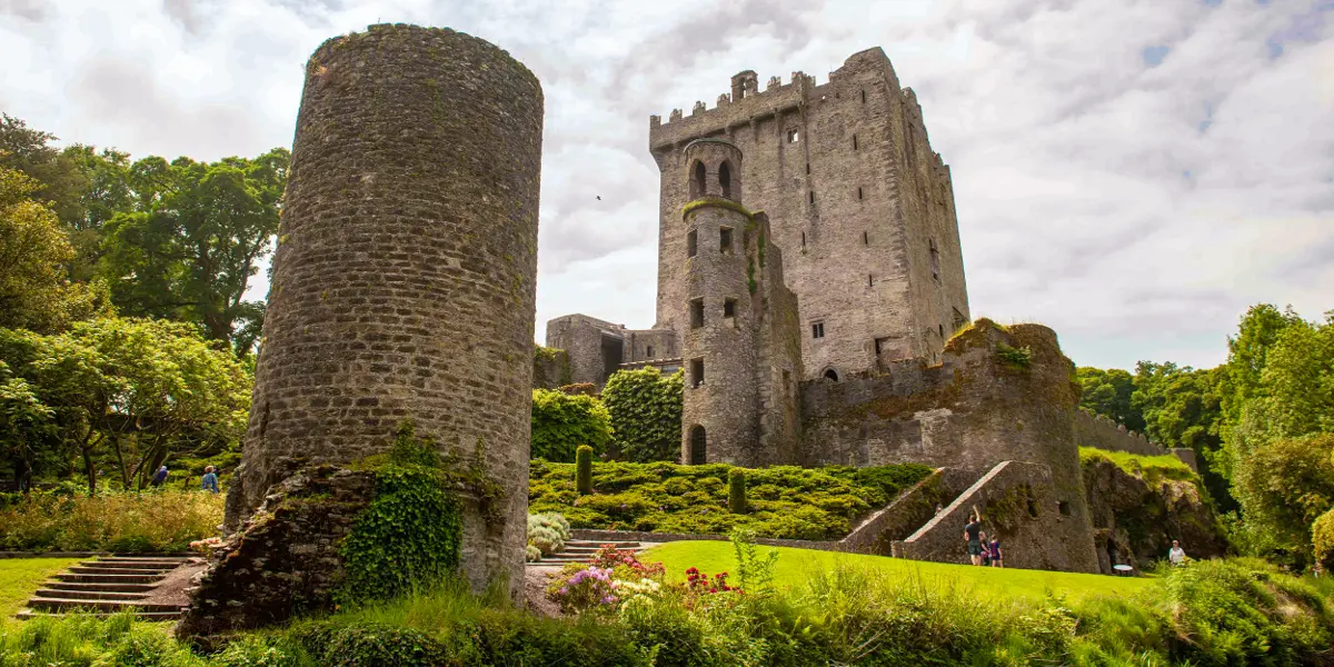 Enclosure in SuttonsrathEnclosure · 875 yd
 Enclosure in ArdalooEnclosure · 965 yd
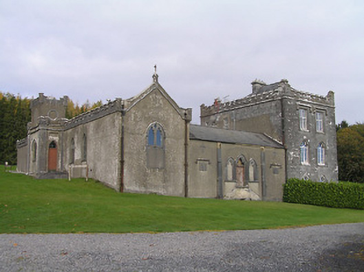 Jenkinstown Housechurch/chapel · 1029 yd
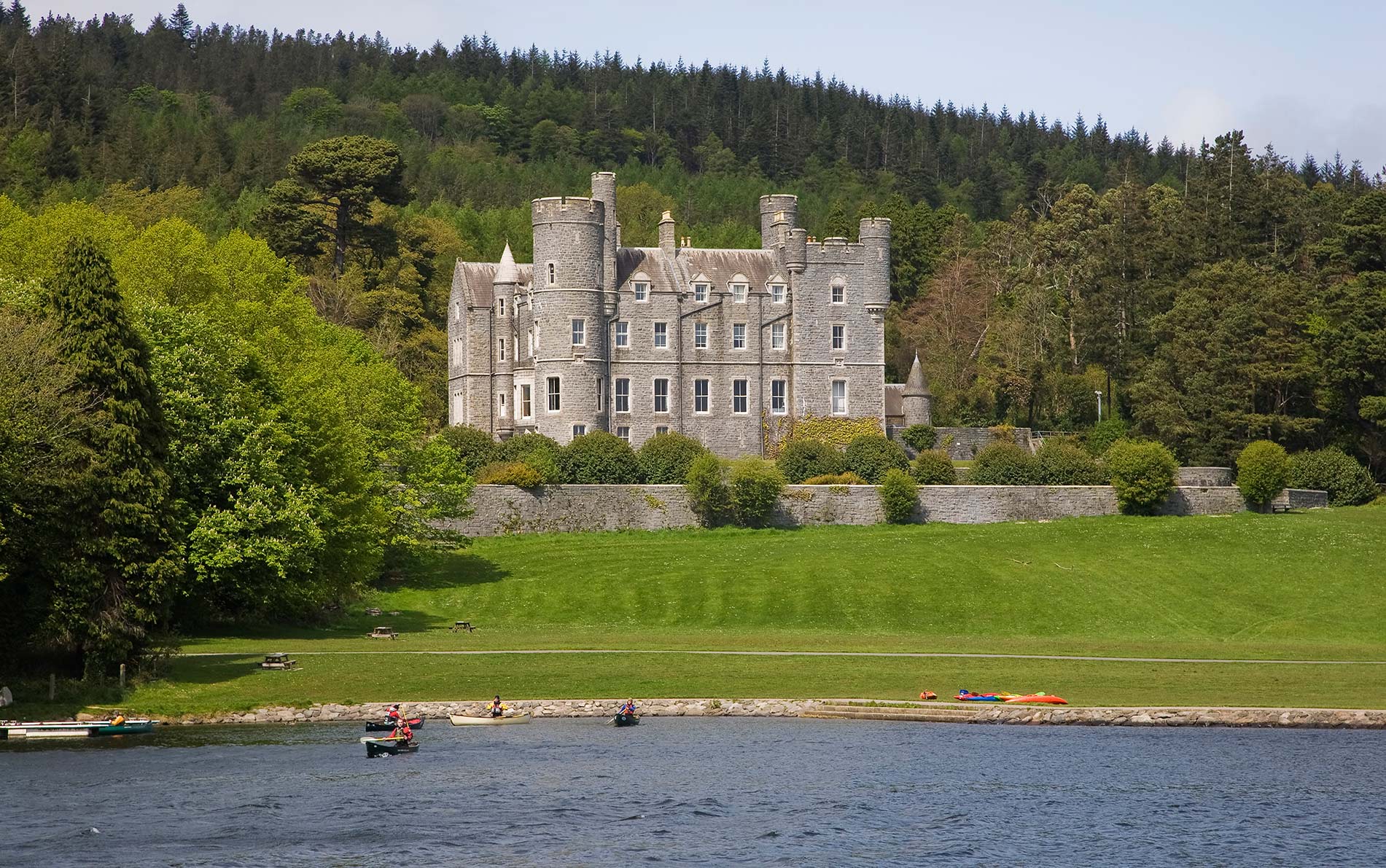 CastleCastle, unclassified · 1221 yd
 Saint Coleman's WellSpring · 1556 yd
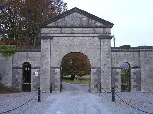 Swifte's Heathgates/railings/walls · 1598 yd
 Jenkinstown ParkForest · 1726 yd
 Ardaloo Castle (in ruins)Castle, unclassified · 1.2 mi
 Graveyard in ThreecastlesGraveyard · 1.3 mi
 Trinity WellSpring · 1.3 mi
 Turkey OakTurkey Oak · 1.4 mi
 Edward BurkeMemorial · 3.5 mi
Other information
Photo: Credit not shown in the picture search · Rights wording not checked; contact us if this picture should be removed