What is recorded here
Situated on SW facing slope of rising ground in upland area. Oval shaped area (diam 17.5m N-S; 18.2m E-W) enclosed by a well preserved earthen bank (Wth 1.5m; ext. H 0.8m; int. H 0.5m) and external fosse (Wth 0.7m; ext. D 0.5m) visible at S only with possible entrance gap (Wth 3.3m) at NW. The well preserved profiles of both the bank and narrow deep fosse would suggest that the site is of fairly recent origin. This is backed up by the cartographic evidence which shows that the site is only marked on the last edition of the OS 6-inch map and not on the first two editions.
The above description is derived from the published 'Archaeological Inventory of County Offaly' (Dublin: Stationery Office, 1997). In certain instances the entries have been revised and updated in the light of recent research.
Date of upload: 23 May 2011
The monument record does not grant public access. Check the route and ask the landowner before entering private land.
- What survives
- Recorded monument
Places near here
 Hilltop enclosure in LetterHilltop enclosure · 1051 yd
 BarrowBarrow, bowl-barrow · 1200 yd
 Giant's Grave LoopWalking route · 1238 yd
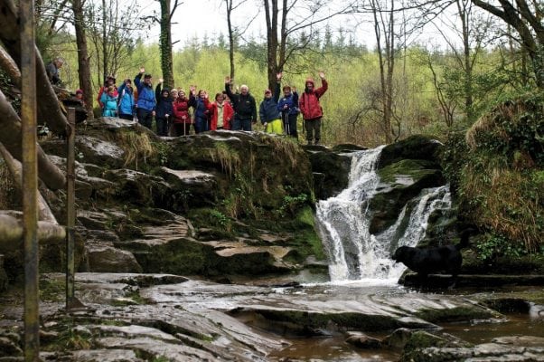 Slieve Bloom WayWalking route · 1348 yd
 Letter Ho.House, 17th century · 1419 yd
 Graveyard in LetterGraveyard · 1464 yd
 Kinnitty ForestForest · 1650 yd
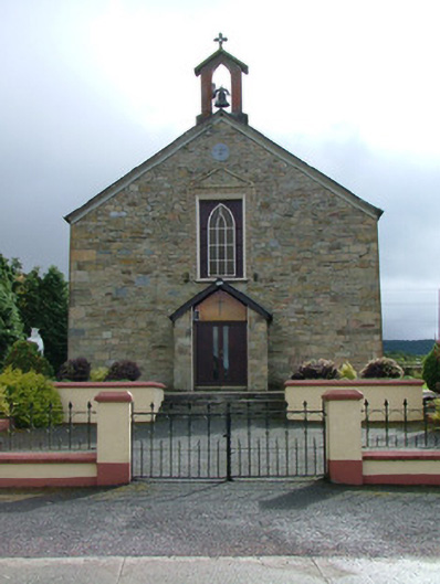 Saint Luna's Catholic Churchchurch/chapel · 1.4 mi
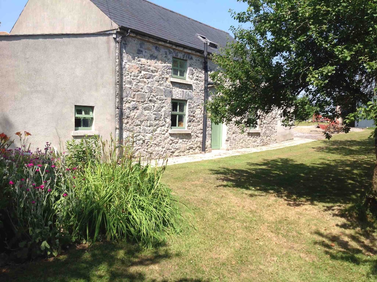 Pigeonstown WoodForest · 1.4 mi
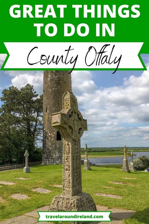 Welcom to GlenreganVisitor information · 1.5 mi
 Castle (Site of)Castle, unclassified · 1.5 mi
 Ballymacadam Castle in ruinsCastle, unclassified · 1.5 mi