What is recorded here
In a small clearing in a coniferous forest, on a gentle N-facing slope. A circular area (13.5m E-W; 12m N-S) is defined by a low earth and stone bank (int. H 0.94m; ext. H 0.84m). The bank is covered with moss and heather and there are numerous gaps in it. The surface of the interior is uneven and also covered with moss and heather. Trees have been planted immediately outside the bank of the enclosure.
The above description is derived from 'The Archaeological Inventory of County Cork. Volume 5' (Dublin: Stationery Office, 2009).
Date of upload: 22 December 2009
The monument record does not grant public access. Check the route and ask the landowner before entering private land.
- What survives
- Recorded monument
Places near here
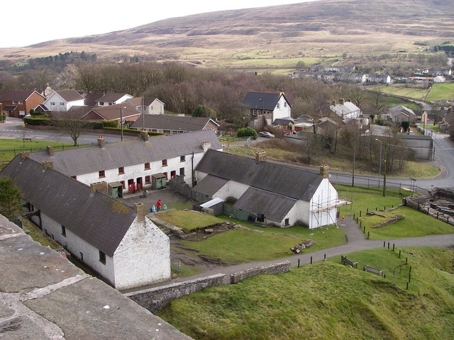 LabbaowenWedge tomb · 211 yd
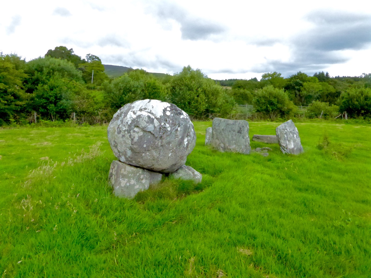 Boulder-burial in ClashbredaneBoulder-burial · 474 yd
 KilnKiln, lime · 1.7 mi
 Carrigboy Castlehouse · 2.1 mi
 Kilmichael Ambush SiteMonument · 3.0 mi
 Kilmichael Ambushambush · 3.0 mi
 Green HillMountain / peak · 3.5 mi
 Castle RockNamed rock · 3.5 mi
 OCrowleys Castle (in Ruins)Castle, tower house · 3.6 mi
 Dromcarra Castle (in Ruins)Castle, tower house · 3.8 mi
 Summerhouse WoodForest · 3.9 mi
 Kilmurry WoodsPicnic place · 4.7 mi