What is recorded here
Named 'Raheen Doon' on Brownrigg's 1791 map in his 'Survey of Sherlockstown, Bodenstown and Little Rath' (NLI Ms. 16 H. 15(21) Map No. 17), and on a later, 1799 map of his (op. cit. Map No. 19) he records a bivallate enclosure in 'Raheen Doon Field'. The site is shown as a raised, circular area (est. diam. c. 40m) on the 1st ed. (1838) of the OS 6-inch map , but it is not recorded on the latest ed. (1938-9), which shows the Dublin-Sallins railway line running through the site.
Compiled by: Gearóid Conroy
Date of upload: 10 June 2011
The monument record does not grant public access. Check the route and ask the landowner before entering private land.
- What survives
- Recorded monument
Places near here
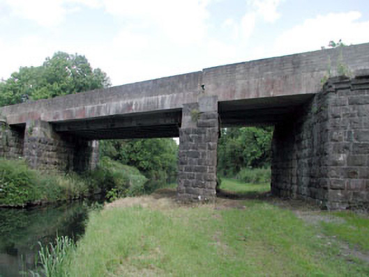 bridgebridge · 244 yd
 Enclosure in BodenstownEnclosure · 738 yd
 Sallins LodgeCastle, tower house · 830 yd
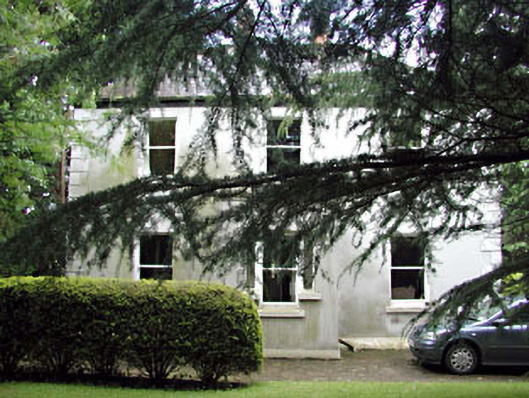 Ard na Gréinehouse · 1131 yd
 EnclosureEnclosure, large enclosure · 1224 yd
 CastleCastle, tower house · 1265 yd
 Naas ParkWood · 1.4 mi
 Monread District Park WoodsWood · 1.5 mi
 Poplar SquarePicnic place · 2.4 mi
 Athgoe HillMountain / peak · 6.1 mi
 Saint Finian's WellSpring · 6.4 mi
 Cupidstown HillMountain / peak · 6.6 mi