
What is recorded here
Aerial photograph (GB90.BW.15) shows cropmark of a rectilinear enclosure defined by double fosses located in close proximity to a complex rectangular monument which may represent a double moated site (LA020-025). First recorded as a positive cropmark in July 1990. The double fosses are more apparent in the thin narrow field. In the AY photographs taken in June 1990 this feature appears similar to a field system, but in the BW photographs an enclosure seems more convincing. PPart of a cropmark landscape (LA020-025/026/027/029).
The above report has been compiled by Dr. G.F. Barrett and supplied to the Archaeological Survey of Ireland.
Date of this report: 23/11/09
Compiled by Caimin O'Brien
Date of upload / revision : 15 August 2010
The monument record does not grant public access. Check the route and ask the landowner before entering private land.
- What survives
- Recorded monument
Places near here
 Enclosure in Shanganagh BegEnclosure · 189 yd
 Enclosure in BarrowhouseEnclosure · 799 yd
 CastleCastle, motte · 1.1 mi
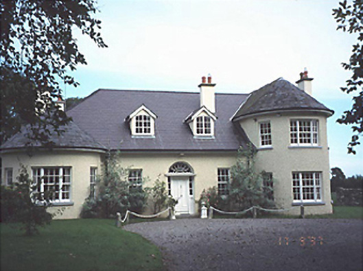 Popefield Househouse · 1.1 mi
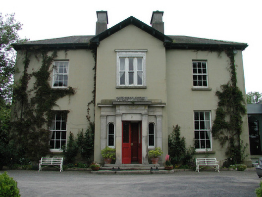 Ardreigh Housemiller's house · 1.4 mi
 Neil HannonMemorial · 1.4 mi
 .Site of St. Legers CastleCastle, unclassified · 1.7 mi
 Town HallMuseum · 2.2 mi
 1798 memorialMemorial · 2.2 mi
 Scots PineScots Pine · 3.9 mi
 Brackney WoodForest · 4.4 mi
 History of Moat of ArdscullVisitor information · 5.5 mi
Other information
Photo: Credit not shown in the picture search · Rights wording not checked; contact us if this picture should be removed