What is recorded here
Situated on ground sloping very gradually to the SE in gently undulating terrain. Not indicated on either ed. of the OS 6-inch map, this site was brought to the attention of the Ikerrin Survey (Stout 1984, 79) despite being levelled in 1977. Other than local tradition there is no other evidence to aid classification (ibid., 79). Not visible at ground level.
The above description is derived from 'The Archaeological Inventory of County Tipperary. Vol. 1 - North Tipperary' compiled by Jean Farrelly and Caimin O'Brien (Dublin: Stationery Office, 2002). In certain instances the entries have been revised and updated in the light of recent research.
Date of upload/revision: 22 September 2008
A local fairy fort (ringfort/rath); wider significance not recorded.
The monument record does not grant public access. Check the route and ask the landowner before entering private land.
- What survives
- Recorded monument
Places near here
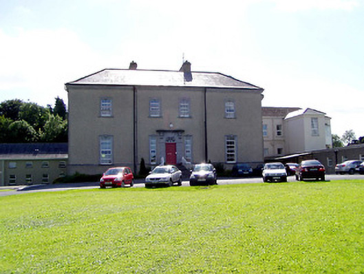 Sean Ross Abbeycountry house · 948 yd
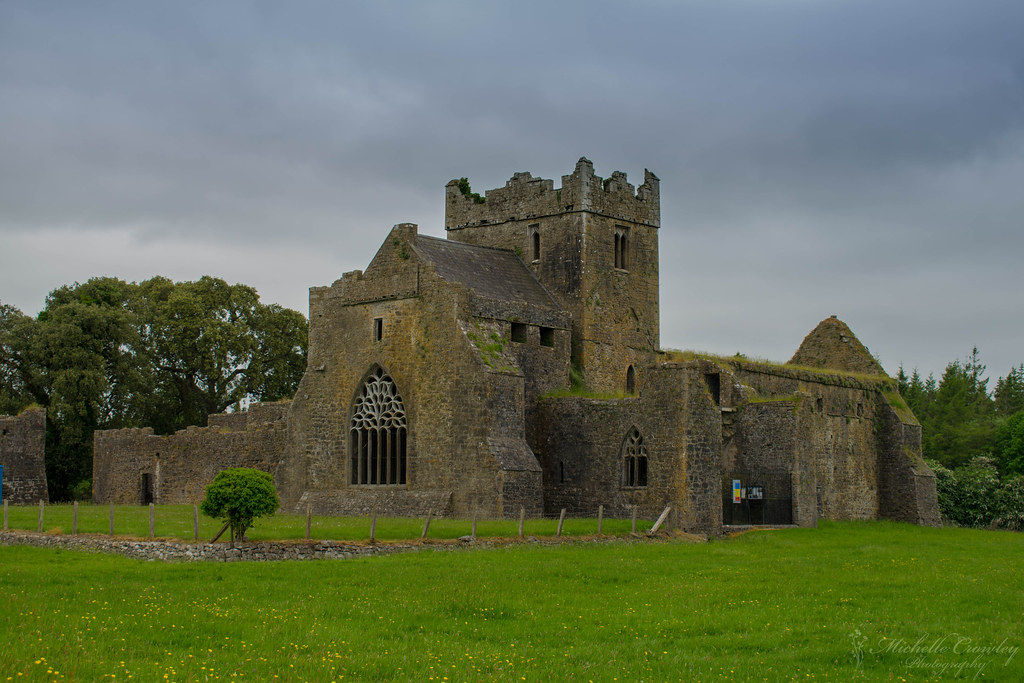 Corbally AbbeyReligious house, Augustinian friars · 1044 yd
 Castle in ruinsHouse, fortified house · 1217 yd
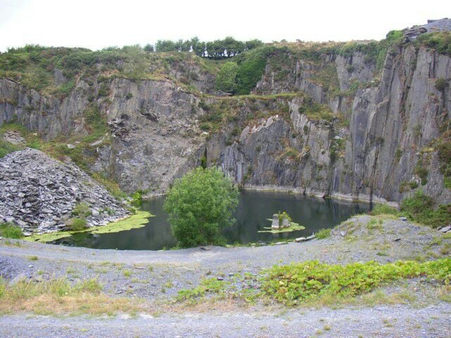 Enclosure in CloneenEnclosure · 1349 yd
 Roscrea Petty Sessions HouseHeritage attraction · 1554 yd
 CastleCastle, unclassified · 1566 yd
 European ashEuropean ash · 1692 yd
 Saint Cronans CrossMonument · 1.0 mi
 European YewEuropean Yew · 1.1 mi
 Millennium GardenMemorial · 1.6 mi
 Saint Kieran's WellSpring · 2.8 mi
 Golden Grove HillMountain / peak · 3.2 mi
Other information
Photo: Credit not shown in the picture search · Rights wording not checked; contact us if this picture should be removed