What is recorded here
This circular enclosure is situated in a large pastoral field. It appears on both the 1842 and 1897 OS maps. No visible trace survives today.
The above description is derived from C. Toal, ‘North Kerry Archaeological Survey’. Dingle. Brandon in association with FAS Training and Employment Authority (1995), no. 708. In certain instances the entries have been revised and updated in the light of recent research.
Date of upload: 2 August 2013
This remains an important historical record, but the official description says the monument is no longer visible or has been destroyed. The monument record does not grant public access. Check the route and ask the landowner before entering private land.
- What survives
- No visible remains or recorded as destroyed
Places near here
 Enclosure in Clogher (clanmaurice By., Tubrid Ed)Enclosure · 813 yd
 Ardfert FriaryVisitor information · 1075 yd
 Abbey (in ruins)Religious house, Franciscan friars · 1076 yd
 Ardfert Franciscan FriaryVisitor information · 1101 yd
 Enclosure in KilleacleEnclosure · 1128 yd
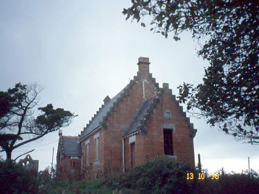 Ardfert Parish Roomchurch hall/parish hall · 1276 yd
 CastleCastle, unclassified · 1326 yd
 Ardfert CathedralHeritage attraction · 1341 yd
 15th Centenary of the birth of St-BredanMemorial · 1349 yd
 Statue of Roger CasementMemorial · 1450 yd
 Site of CastleCastle, unclassified · 1.9 mi
 Tobar na MoltSpring · 2.1 mi