What is recorded here
Enclosure in Rowgarrane, a circular structure 15m across, stood in pasture on a south-east-facing slope in County Cork. It vanished beneath the soil until no trace remained. Two ringforts still crouch 120m and 260m south, witnesses to its disappearance. The land swallowed one chamber but left the others breathing.
In pasture, on SE-facing slope. Shown on 1842 OS 6-inch map as circular enclosure (diam. c. 15m). Levelled; no visible surface trace. Two ringforts (CO075-009---; CO-75-010---) c. 120m and c. 260m to S, respectively.
The above description is derived from the published 'Archaeological Inventory of County Cork. Volume 2: East and South Cork' (Dublin: Stationery Office, 1994). In certain instances the entries have been revised and updated in the light of recent research.
Date of upload/revision: 14 January 2009
The monument record does not grant public access. Check the route and ask the landowner before entering private land.
- What survives
- Recorded monument
Places near here
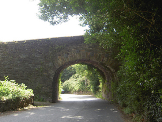 Lacken Roe Bridgebridge · 881 yd
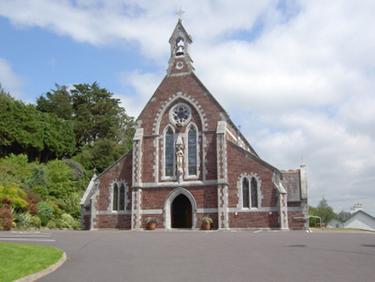 Sacred Heart Roman Catholic Churchchurch/chapel · 1138 yd
 Ashbourne ParkWood · 1475 yd
 Grave YardGraveyard · 1621 yd
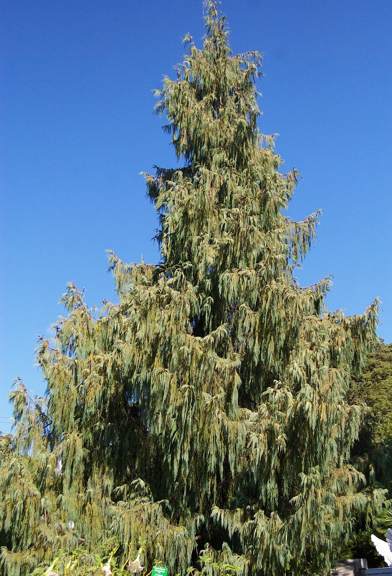 Bhutan CypressBhutan Cypress · 1636 yd
 Old Court (Site of)Castle, unclassified · 1.3 mi
 Castle (Site of)Castle, unclassified · 1.6 mi
 Harper's IslandIslet · 1.7 mi
 Fota Arboretum and GardensHeritage attraction · 2.5 mi
 Goat IslandIslet · 4.4 mi
 Thomas Kent StationMemorial · 5.0 mi