What is recorded here
Noted as cropmark of possible trapazoidal enclosure in Adare Bypass Constraint Study Report (Ref. No. 30; AP 1:4,000 OS3 1199). No evident trace of enclosure in level field of pasture. This 'cropmark' may be the result of agricultural activity rather than representing a sub-surface feature.
Compiled by: Denis Power
Date of Upload: 9 August 2012
The monument record does not grant public access. Check the route and ask the landowner before entering private land.
- What survives
- Recorded monument
Places near here
 Garraunboy CastleCastle · 856 yd
 Clonshire Lodgekiln · 1383 yd
 OutlinedEnclosure · 1533 yd
 Ivy Househouse · 1564 yd
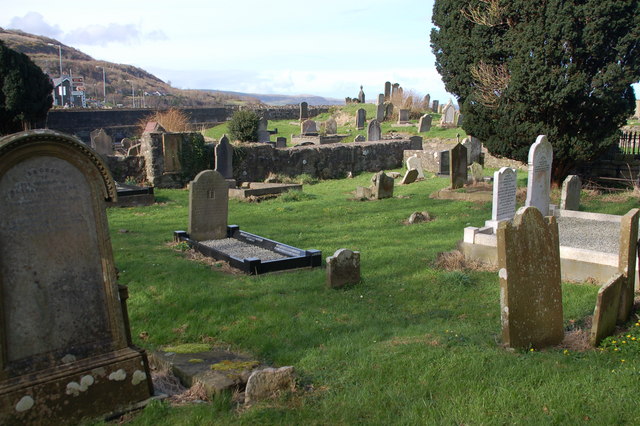 Grave YardGraveyard · 1.2 mi
 Bawn in FinniterstownBawn · 1.2 mi
 Flat cemetery in Kiltenan SouthFlat cemetery · 1.7 mi
 Adare Tourist OfficeVisitor information · 1.7 mi
 GinkgoGinkgo · 1.9 mi
 European YewEuropean Yew · 2.0 mi
 Desmond CastleHeritage attraction · 2.2 mi
 Adare Desmond CastleMedieval castle · 2.2 mi