
What is recorded here
Located on the S bank of a W-E section of the River Boyne with the stream c. 125m to the N. The faint cropmark of a circular feature (diam. c. 30m) defined by a single fosse feature with a possible outer bank is visible on OSI aerial images (1995). It had been noted (Smyth 2009, 39) and was first brought to attention by Conor Brady.
Compiled by: Michael Moore
Date of upload: 28 May, 2018
The monument record does not grant public access. Check the route and ask the landowner before entering private land.
- What survives
- Recorded monument
Places near here
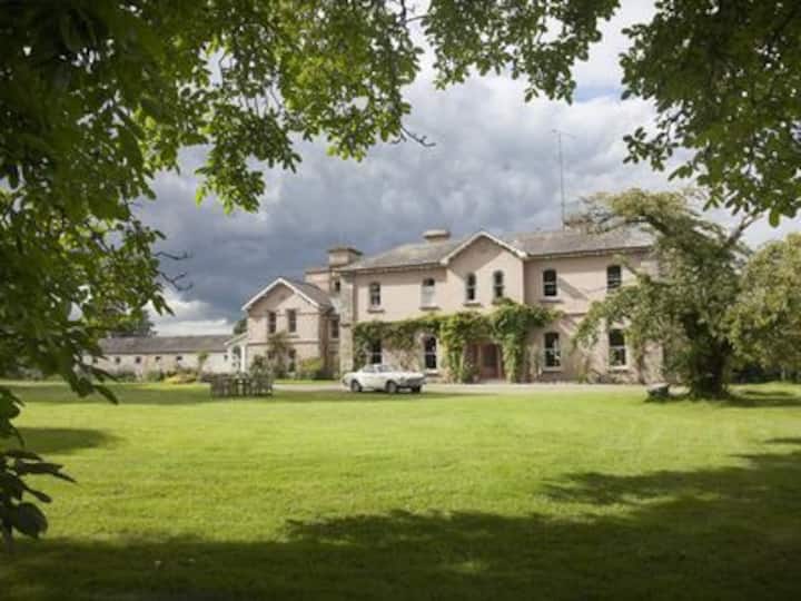 Enclosure in RossnareeEnclosure · 177 yd
 IndicatedEnclosure · 307 yd
 Knowth Fox CovertWood · 749 yd
 KnowthArchaeological place · 943 yd
 Knowth Timber CircleHeritage attraction · 1002 yd
 Catholic Church of the Nativity of Our Ladychurch/chapel · 1.0 mi
 Mill Housemill (water) · 1.0 mi
 Fennor CastleCastle · 1.4 mi
 RiverviewMemorial · 1.6 mi
 Dean's WoodWood · 1.9 mi
 Brú na Bóinne Visitors CentreVisitor information · 2.3 mi
 CastleCastle, motte · 2.4 mi
Other information
Photo: Credit not shown in the picture search · Rights wording not checked; contact us if this picture should be removed