
What is recorded here
Enclosure in Rine (burren By.) is a vanished circular boundary on a Clare shoreline, recorded in 1842 but gone by 1997. It stood at the crossing to Scanlon’s Island, where rock, pasture and sea still mark the edge of human memory. The bank may have been eaten by water, forgotten by cattle or never fully built. What remains is a hole in the landscape, shaped like a room nobody enters anymore.
On a gentle SW-facing downslope just above the shoreline with rock outcrop immediately S and E and pasture to N, at the crossing point to Scanlon’s Island. Hachured on the 1842 OS 6-inch map as a circular feature (diam. c. 18m) and listed in the RMP (1996) as ‘Enclosure’. On inspection in 1997 there were no visible remains. The 1842 edition overlaid on Digital Globe (2011-2013) suggests some portion of a bank may remain. There is a rath (CL002-068001-) c. 200m NW and a cashel (CL002-019001-) c. 500m SSW on Scanlon’s Island.
Compiled by: Mary Tunney and Ros Ó Maoldúin
Date of upload: 2 December 2020
The monument record does not grant public access. Check the route and ask the landowner before entering private land.
- What survives
- Recorded monument
Places near here
_-_geograph.org.uk_-_6978570.jpg?width=1280) Finavarra Housecountry house · 857 yd
Finavarra Housecountry house · 857 yd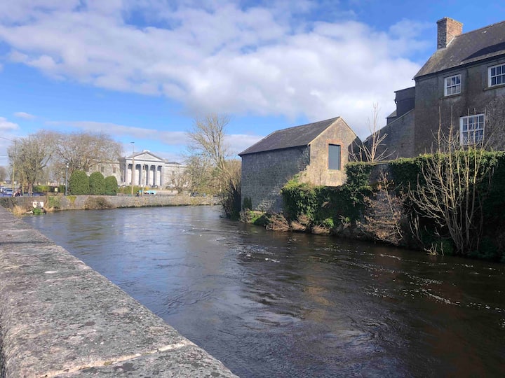 LissavorneedFairy fort / earthen ringfort · 943 yd
 Gortagreenan FortFairy fort / stone ringfort · 975 yd
 Muckinish PointHeadland · 1333 yd
 Shanmuckinish CastleCastle, tower house · 1344 yd
_-_geograph.org.uk_-_5527885.jpg?width=1280) IndicatedBawn · 1354 yd
IndicatedBawn · 1354 yd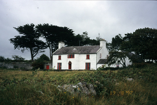 Mount Vernon Lodgehouse · 1669 yd
 The Russell GalleryGallery · 1.2 mi
 Saint Patrick's ChurchHeritage attraction · 2.0 mi
 Moneen MountainMountain / peak · 2.3 mi
 Battle of Lough Raskabattle · 2.4 mi
 Rine PointHeadland · 2.5 mi
Other information
Photo: Credit not shown in the picture search · Rights wording not checked; contact us if this picture should be removed