What is recorded here
Rathure South holds a ghost enclosure beside its great ringfort, visible only when viewed from above. The ground keeps its own counsel, hiding the circular shape from boots and bicycles while revealing it to aerial cameras. What lives inside that hidden circle remains unknown, perhaps a forgotten garden, a boundary marker, or a room built for someone who no longer has a name.
Not visible at ground level. Aerial photographs (Air Corps 755/754) shows faint outline of circular enclosure to the S of a large ringfort (OF036-019----).
The above description is derived from the published 'Archaeological Inventory of County Offaly' (Dublin: Stationery Office, 1997). In certain instances the entries have been revised and updated in the light of recent research.
Date of upload: 23 May 2011
The monument record does not grant public access. Check the route and ask the landowner before entering private land.
- What survives
- Recorded monument
Places near here
 Enclosure in Coole (eglish By.)Enclosure · 808 yd
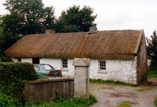 farm housefarm house · 832 yd
 IndicatedFairy fort / earthen ringfort · 1076 yd
 RoadRoad, class 3 togher · 1309 yd
 Killyon Abbey (in ruins)Bawn · 1.1 mi
 Site of OCarrolls CastleCastle, unclassified · 1.4 mi
 Woodville WoodWood · 3.8 mi
 Birr Heritage CentreMuseum · 4.1 mi
 Oriental planeOriental plane · 4.1 mi
 James Franklin FullerMemorial · 4.2 mi
 Waterfall PointViewpoint · 4.4 mi
 The Great Telescope 'Leviathan'Heritage attraction · 4.5 mi