What is recorded here
In grassland, ringfort (LI028-044---) 40m to SW, second ringfort (LI028-045----) 90m to NW . Outline of circular-shaped area (approx. diam. 20m) defined by a low bank visible on OSi orthophoto. Faint outline of cropmark visible on Digital Globe orthophoto taken 2011-13.
Compiled by: Caimin O'Brien
Date of upload: 24 June 2020
The monument record does not grant public access. Check the route and ask the landowner before entering private land.
- What survives
- Recorded monument
Places near here
 Church in Rathreagh MoreChurch · 827 yd
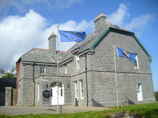 Rathgoonan Housecountry house · 934 yd
 St. Lukes WellHoly well · 1254 yd
 St. Luke's WellSpring · 1261 yd
 Mound in Ballyegny BegMound · 1376 yd
 CahermoyleCastle, unclassified · 1716 yd
 St. Kieran's WellSpring · 1.2 mi
 Castle (in ruins)Castle, tower house · 1.3 mi
 European ashEuropean ash · 3.8 mi
 Limerick GreenwayWalking route · 6.2 mi
 Gammarel PointHeadland · 7.6 mi
 Sugar HillMountain / peak · 7.9 mi