What is recorded here
Rathreagh Beg holds a twenty-metre circular enclosure beside two ringforts, marking a settled cluster rather than a lonely outpost. The low bank still traces the edge of a life where people moved between defined spaces, tended grass, and shaped the land with repeated labour. That much is visible. The rest belongs to imagination, but the circle resists forgetting because it served someone and survived them.
In grassland, ringfort (LI028-044---) 40m to SW, second ringfort (LI028-045----) 90m to NW . Outline of circular-shaped area (approx. diam. 20m) defined by a low bank visible on OSi orthophoto. Faint outline of cropmark visible on Digital Globe orthophoto taken 2011-13.
Compiled by: Caimin O'Brien
Date of upload: 24 June 2020
The monument record does not grant public access. Check the route and ask the landowner before entering private land.
- What survives
- Recorded monument
Places near here
 Church in Rathreagh MoreChurch · 827 yd
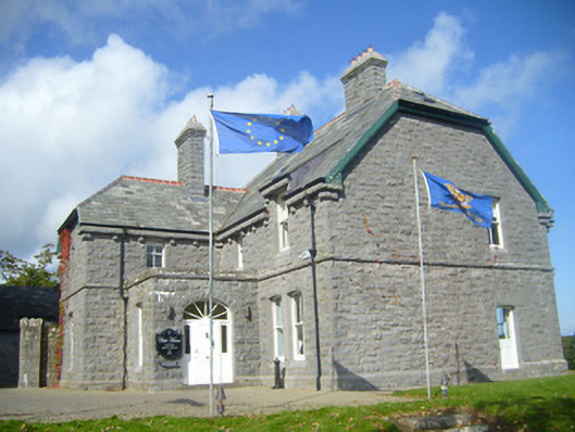 Rathgoonan Housecountry house · 934 yd
 St. Lukes WellHoly well · 1254 yd
 St. Luke's WellSpring · 1261 yd
 Mound in Ballyegny BegMound · 1376 yd
 CahermoyleCastle, unclassified · 1716 yd
 St. Kieran's WellSpring · 1.2 mi
 Castle (in ruins)Castle, tower house · 1.3 mi
 European ashEuropean ash · 3.8 mi
 Limerick GreenwayWalking route · 6.2 mi
 Gammarel PointHeadland · 7.6 mi
 Sugar HillMountain / peak · 7.9 mi