
What is recorded here
In undulating pasture on the S side of the Sligo-Strandhill road. Not marked on the 1837 or 1940 editions of the OS 6-inch map. An aerial photograph (OS 1 3307-6, Roll 160, Print 21) revealed the presence of a enclosure here. There are no remains visible at ground level.
Compiled by: Patrick F. O'Donovan
Date of upload: 21 April 2011
The monument record does not grant public access. Check the route and ask the landowner before entering private land.
- What survives
- Recorded monument
Places near here
 Enclosure in CummeenEnclosure · 311 yd
 Enclosure in BallydooganEnclosure · 391 yd
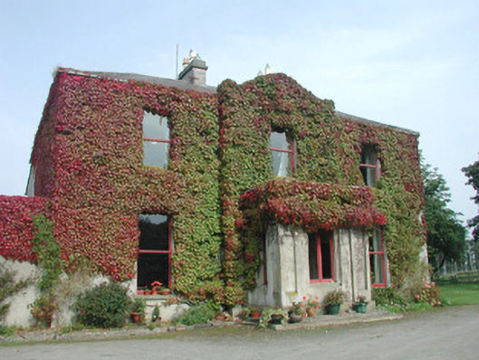 Woodville Househouse · 494 yd
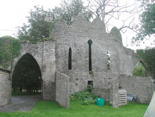 Cummeen Househouse · 603 yd
 St. John's CathedralMemorial · 1.5 mi
 Famine MemorialMonument · 1.5 mi
 CastleCastle, Anglo-Norman masonry castle · 1.6 mi
 Discover IrelandVisitor information · 1.6 mi
 SligoVisitor information · 1.7 mi
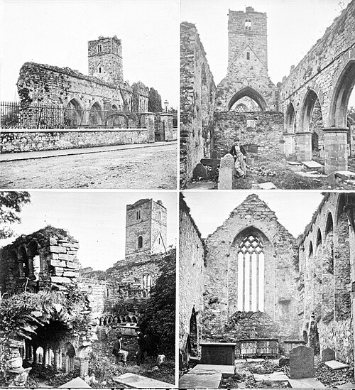 Sligo AbbeyMuseum · 1.8 mi
 Model Niland GalleryHeritage attraction · 1.9 mi
 HouseHouse, fortified house · 1.9 mi
Other information
Photo: Credit not shown in the picture search · Rights wording not checked; contact us if this picture should be removed