What is recorded here
In pasture, on E-facing slope. Depicted as hachured oval enclosure (c. 45m N-S; c. 35m E-W) on 1842 OS 6-inch map; as trapezoidal enclosure on 1904 and 1935 OS 6-inch maps, with external fosse (hachured) to NNE, S and W. Roughly trapezoidal area (39.7m N-S; 39.6m E-W) enclosed by earthen bank (int. H 1m; ext. H 1.1m) with external fosse (D 0.8m). East bank appears to curve slightly; S bank is straight with gap (Wth 4m). Depression in interior (L c. 14m; D 0.3m; Wth at base c. 2m) runs from inside E bank in SW direction and disappears into area of rush growth.
The above description is derived from the published 'Archaeological Inventory of County Cork. Volume 4: North Cork' (Dublin: Stationery Office, 2000). In certain instances the entries have been revised and updated in the light of recent research.
Date of upload/revision: 14 January 2009
The monument record does not grant public access. Check the route and ask the landowner before entering private land.
- What survives
- Recorded monument
Places near here
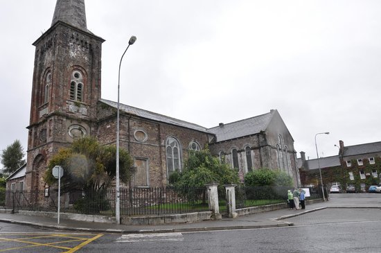 Ardskeagh Church (in Ruins)Church · 1038 yd
 Ardskeagh MoatCastle, motte · 1549 yd
 Charleville Railway Stationstore/warehouse · 1.2 mi
 Ballymacshaneboy Castle (in ruins)Castle, unclassified · 1.2 mi
 Fulacht fia in Garrane (fermoy By.)Fulacht fia · 1.3 mi
 Ladys WellHoly well · 1.4 mi
 ToberSpring · 1.5 mi
 Lady's WellSpring · 1.6 mi
 BallinaboolaVisitor information · 1.8 mi
 Caher HillMountain / peak · 2.2 mi
 Holy Cross CemeteryGraveyard · 2.2 mi
 CarrigeenMountain / peak · 2.9 mi