What is recorded here
Test excavation was undertaken by Dominic Delany under licence no. 99E0461, from 30 August to 3 September 1999, before application for planning permission for four detached dwellings. The sites are within the area of constraint around a ringfort that consists of a raised circular platform (diameter 44.8m, height 1m), enclosed by a slight bank largely reduced to a scarp, and an external fosse (width 4m, depth 0.9m). The SMR file for this site also notes that a field system possibly associated with the ringfort exists in the area west and south-west of the monument. The ringfort (OF011-017001-) is 25m from the eastern edge of the proposed development site, which measures 70m north-south by 125m.
A large spread of burnt material (OF011-017004-) was encountered midway along Trench 1. The burnt material directly underlay the sod and had an average thickness of 0.35m, lensing out to 0.05m at the east and west. The eastern edge of the spread is clearly defined by a curvilinear feature, 1.7m wide, and a second curvilinear feature, 1.2m wide, was encountered 22m west of the burnt material. It is possible that the curvilinear features represent the east and west limits of a large circular enclosure (diameter c. 44m).
Compiled by: Caimin O'Brien.
Date of upload: 23 May 2011
The monument record does not grant public access. Check the route and ask the landowner before entering private land.
- What survives
- Recorded monument
Places near here
 Fulacht fia in RathcobicanFulacht fia · 50 yd
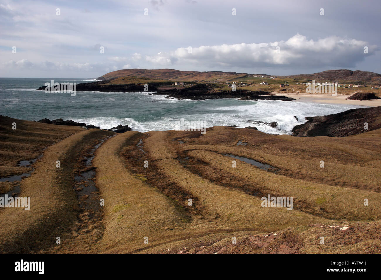 Field system in RathcobicanField system · 90 yd
 Rhode Bridgebridge · 757 yd
 Victoria PlantationWood · 776 yd
 Holy PlantationForest · 1018 yd
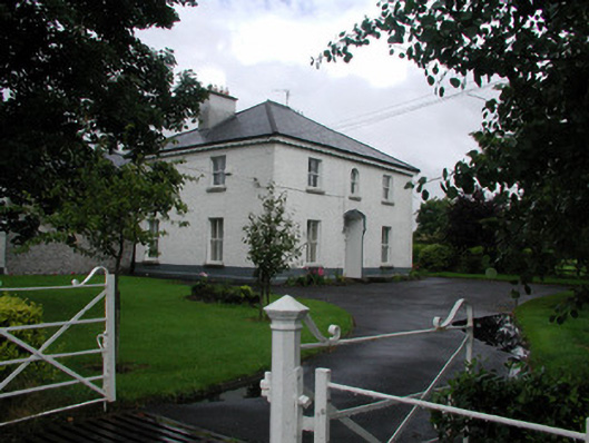 Rhode Househouse · 1254 yd
 OutlinedBawn · 1669 yd
 Clonin EarthworksMountain / peak · 1.0 mi
 Site of Lady Mary Warrens CastleCastle, unclassified · 1.5 mi
 Moat HillMountain / peak · 3.4 mi
 Croghan HillMountain / peak · 3.4 mi
 Croghan Hill WalkVisitor information · 3.4 mi