What is recorded here
In area of rock outcrop now in reclaimed pasture immediately S of townland boundary with Ballincurra. The most N of three enclosures (LI039-154/156---) located in close proximity to each other on a NW-SE axis. Not depicted on OSi historic maps. Identified by Bruff aerial photographic survey in 1986 (Bruff 36.1 & 36.3; AP 5/2063) as a possible enclosure with adjoining field system. No surface remains visible on OSi orthophoto taken between 2005-12. Cropmark of levelled enclosure and levelled field system visible on Google Earth orthoimage dated 04/04/2013. No surface remains visible on recent Google Earth orthoimages
See attached Bruff aerial photograph (36.1 & 36.3) and Google Earth orthoimages.
Compiled by: Martin Fitzpatrick
Date of upload: 11 May 2021
The monument record does not grant public access. Check the route and ask the landowner before entering private land.
- What survives
- Recorded monument
Places near here
 Enclosure in RathcannonEnclosure · 180 yd
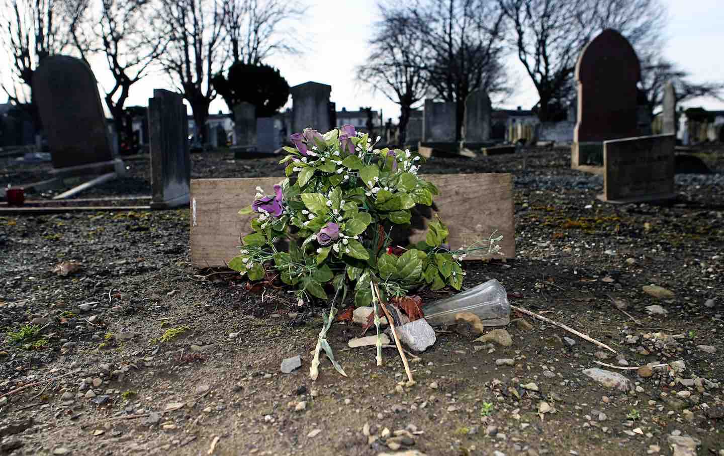 Cremated remains in Ballincurra (coshma By.)Cremated remains · 413 yd
 OutlinedBawn · 420 yd
 Bawn in Ballycullane (kilmallock By.)Bawn · 1.2 mi
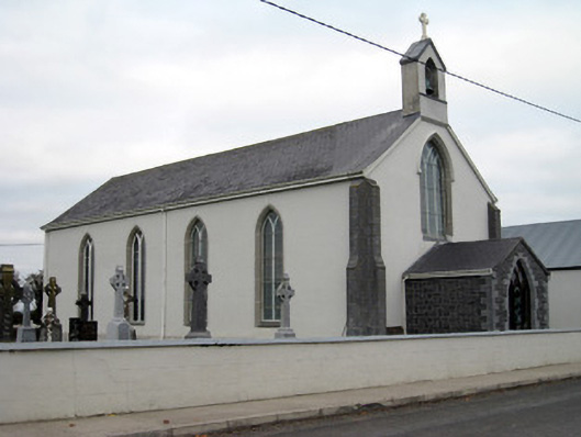 Catholic Church of Saint John the Baptistchurch/chapel · 1.4 mi
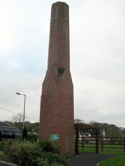 chimneychimney · 1.5 mi
 King John's CastleCastle · 4.3 mi
 Monasteranenagh AbbeyHeritage attraction · 4.4 mi
 European ashEuropean ash · 5.4 mi
 Pedunculate OakPedunculate Oak · 5.7 mi
 Lough Gur Heritage CentreVisitor information · 5.8 mi
 The SpectaclesVisitor information · 5.9 mi