What is recorded here
In level pasture on the S side of the River Maine. A roughly D-shaped area (dims. c. 220m N-S) with a straight N side (L c. 160m) is enclosed by the River Maine at N, by an inner bank (Wth 3.1m; int. H 0.5m; ext. H 2.1m) on which trees grow intermittently, by a fosse (Wth 5.6m) and by an outer bank (Wth 4.9m; int. H 1.7m; ext. H 1.4m) along the S arc (L 50m) and is largely obscured by briars and bushes. The fosse has been modified for use as a farm road (Wth 3.5m) SWN and the banks on either side have been modified for use as field boundaries with stone inclusions. A dense cover of briars and thorn bushes obscures these field boundaries. The enclosing element NSE is gone, but can be discerned by intermittent traces of a low bank. It is shown as a light coloured curve on the aerial photograph taken soon after the bank was removed. The bank on the N side resulted from spoil during drainage works on the River Maine.
Compiled by: Connie Murphy
Date of upload: 21 February 2013
The monument record does not grant public access. Check the route and ask the landowner before entering private land.
- What survives
- Recorded monument
Places near here
 Ecclesiastical site in CoolclieveEcclesiastical site · 898 yd
 Ritual siteRitual site, holy tree/bush · 1.4 mi
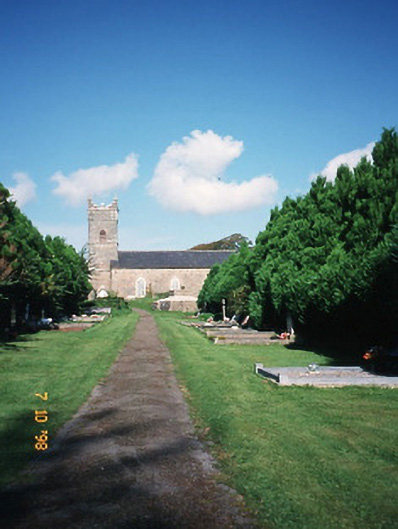 Saint Carthage's Church (Kiltallagh)church/chapel · 1.4 mi
 Cloonmealane CastleCastle · 1.6 mi
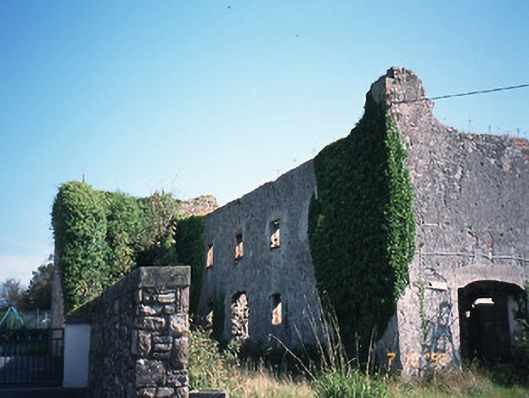 store/warehousestore/warehouse · 1.7 mi
 Site of Castle MaineCastle, Anglo-Norman masonry castle · 1.8 mi
 Ballygamboon Forest Recreation AreaWood · 2.4 mi
 KnockmoyleMountain / peak · 3.7 mi
 The Kerry Creamery ExperienceHeritage attraction · 4.0 mi
 Scotia's GraveArchaeological place · 4.3 mi
 Knockmichael MountainMountain / peak · 4.6 mi
 Tralee Equestrian CentreHeritage attraction · 5.7 mi