What is recorded here
Aerial photographs (CUCAP BOC 81, 84; BGH 50) show a cropmark of a fosse defining a small circular area (est. max diam. c. 15m), immediately to NE of No. 39:11**. Probably a ringbarrow or ringditch.
Date of upload: 6 September 2016
The monument record does not grant public access. Check the route and ask the landowner before entering private land.
- What survives
- Recorded monument
Places near here
 Enclosure in Prumpelstown UpperEnclosure · 109 yd
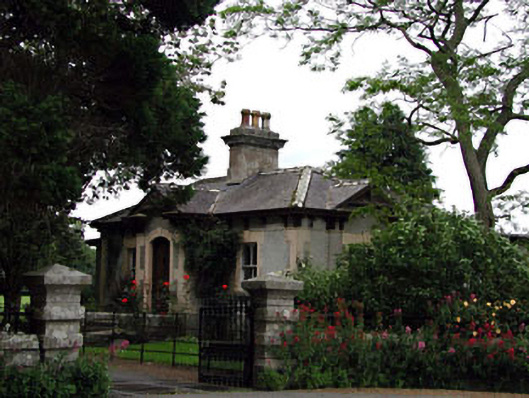 Prumplestown Housegate lodge · 701 yd
 Enclosure in Johnstown SouthEnclosure · 760 yd
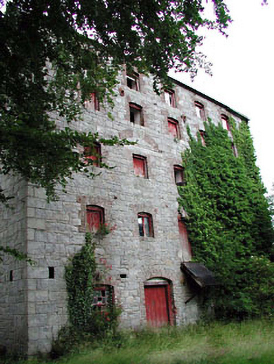 Prumplestown Millmill (water) · 949 yd
 Gorteen MoundCastle, unclassified · 1191 yd
 Oak Park Forest ParkWood · 1.9 mi
 ProclamationMemorial · 2.0 mi
 Franciscan FriaryHeritage attraction · 2.1 mi
 Castledermot Round TowerHeritage attraction · 2.3 mi
 CastleCastle, tower house · 2.3 mi
 European YewEuropean Yew · 2.4 mi
 Lorcán Ó TuathailMemorial · 3.1 mi