
What is recorded here
The following description is derived from the published 'Archaeological Inventory of County Meath' (Dublin: Stationery Office, 1987). In certain instances the entries have been revised and updated in the light of recent research.
Date of upload/revision: 10 July 2007
Circular area defined by small earthen bank (diam. 18m) with external ditch. No entrance. Landscape feature.
The monument record does not grant public access. Check the route and ask the landowner before entering private land.
- What survives
- Recorded monument
Places near here
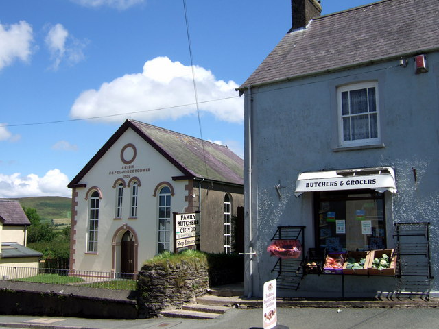 Chapel in Knockisland (duleek Lower By.)Chapel · 1129 yd
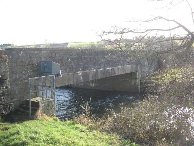 IndicatedBridge · 1151 yd
 Common LimeCommon Lime · 1422 yd
 CastleCastle, motte · 1480 yd
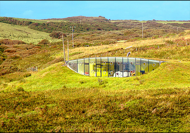 Enclosure in LunderstownEnclosure · 1553 yd
 Enclosure in Blackditch (duleek Upper By.)Enclosure · 1582 yd
 Athcarne CastleCastle, tower house · 2.2 mi
 Boyne Currach CentreHeritage attraction · 3.7 mi
 Brú na Bóinne Visitors CentreVisitor information · 3.7 mi
 Brú na Bóinne Visitor Centre AccessHeritage attraction · 3.7 mi
 Glenmore ForestWood · 4.0 mi
 Newgrange Business ParkMemorial · 4.2 mi
Other information
Photo: Credit not shown in the picture search · Rights wording not checked; contact us if this picture should be removed