What is recorded here
Situated on a gentle S-facing slope c. 100m SW of enclosure (WI013-020001-). Circular bivallate enclosure (int. diam. c. 30m) defined by a fosse, visible as a cropmark on aerial photograph (CUCAP, BDJ 101). An outer fosse (diam. c. 85m) is visible at the E. Not visible at ground level.
The above description is derived from the published 'Archaeological Inventory of County Wicklow' (Dublin: Stationery Office, 1997). In certain instances the entries have been revised and updated in the light of recent research.
Date of upload/revision: 17 December 2008
The monument record does not grant public access. Check the route and ask the landowner before entering private land.
- What survives
- Recorded monument
Places near here
 Enclosure in PriestsnewtownEnclosure · 336 yd
 St. Patricks R.C. ChapelFont · 724 yd
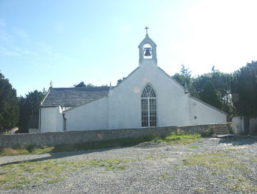 Saint Patrick's Catholic Churchchurch/chapel · 745 yd
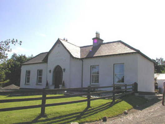 The Prioryhouse · 764 yd
 TuliptreeTuliptree · 1186 yd
 Delgany Heritage TrailWalking route · 1.2 mi
 Glenroe FarmHeritage attraction · 1.4 mi
 Kindlestown Castle (in ruins)Castle, hall-house · 1.6 mi
 SycamoreSycamore · 1.7 mi
 CastleCastle, motte · 1.7 mi
 Greystones South BeachBeach / strand · 2.0 mi
 Leamore StrandBeach / strand · 3.2 mi