What is recorded here
Situated on a gentle S-facing slope c. 100m NW of enclosure (WI013-020----). Circular enclosure (diam. c. 18m) defined by a fosse, visible as a cropmark on aerial photograph (CUCAP, BDJ 101). Not visible at ground level.
The above description is derived from the published 'Archaeological Inventory of County Wicklow' (Dublin: Stationery Office, 1997). In certain instances the entries have been revised and updated in the light of recent research.
Date of upload/revision: 17 December 2008
The monument record does not grant public access. Check the route and ask the landowner before entering private land.
- What survives
- Recorded monument
Places near here
 Enclosure in PriestsnewtownEnclosure · 382 yd
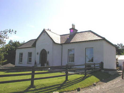 The Prioryhouse · 658 yd
 St. Patricks R.C. ChapelFont · 782 yd
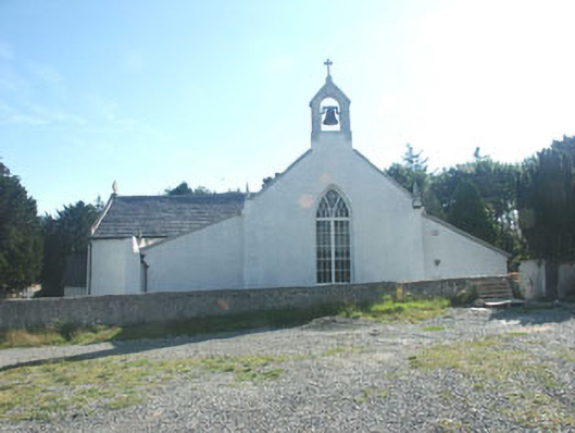 Saint Patrick's Catholic Churchchurch/chapel · 801 yd
 TuliptreeTuliptree · 1133 yd
 Delgany Heritage TrailWalking route · 1.2 mi
 Glenroe FarmHeritage attraction · 1.3 mi
 Kindlestown Castle (in ruins)Castle, hall-house · 1.6 mi
 SycamoreSycamore · 1.7 mi
 CastleCastle, motte · 1.8 mi
 Greystones South BeachBeach / strand · 2.0 mi
 Leamore StrandBeach / strand · 3.2 mi