What is recorded here
Identified as the northernmost of two conjoined enclosures on an aerial photograph (CUCAP BGG028, 16 July 1971) and also visible on a later aerial photograph (GB89.P.23, 13 July 1989). The S enclosure (KK019-130----) is possibly later as it appears to be encroaching into the S sector of the N enclosure. Since 1989 both monuments have been levelled, as have the field boundaries to the N and E. There is a large enclosure (KK019-043----) c. 300m to the NW and another enclosure (KK019-044----) c. 260m to the W.
See attached aerial photograph CUCAP BGG028, 16 July 1971
Compiled by: Jean Farrelly and Dr. Gillian Barrett for the Archaeological Survey of Ireland.
Date of revised upload: 6 October 2020
The monument record does not grant public access. Check the route and ask the landowner before entering private land.
- What survives
- Recorded monument
Places near here
 IndicatedEnclosure, large enclosure · 392 yd
 Enclosure in FurzehouseEnclosure · 639 yd
 Saint Joseph's Catholic Churchchurch/chapel · 1569 yd
 Kilkenny AirsoftHeritage attraction · 1.0 mi
 Birchfield Housefarmyard complex · 1.2 mi
 Ivan PowerMemorial · 1.5 mi
 Michael CarthyMemorial · 1.5 mi
 Castle (in ruins)Castle, unclassified · 1.8 mi
 HawthornHawthorn · 1.8 mi
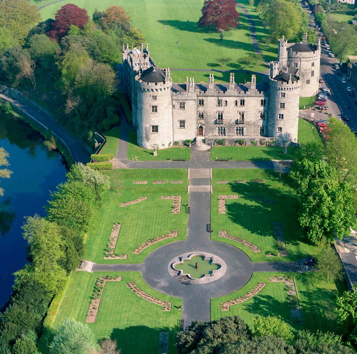 Site of Lavistown CastleCastle, unclassified · 1.8 mi
 WelcomeVisitor information · 1.8 mi
 HedgerowVisitor information · 1.8 mi