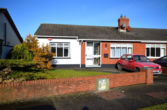
What is recorded here
Recorded on Taylor's 1783 Map of County Kildare as circular feature, and shown as an enclosure named 'Moat' on a manuscript map in the National Library of Ireland (NLI Ms 21.F.35 (1727-1838) Map 43). Not recorded on any edition of the OS 6-inch mapping, the latest ed. of which (1938-9) shows the engine house at Sallins train station on the presumed location of the site.
Compiled by: Gearóid Conroy
Date of upload: 10 June 2011
The monument record does not grant public access. Check the route and ask the landowner before entering private land.
- What survives
- Recorded monument
Places near here
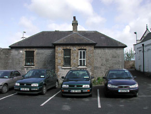 Sallins and Naas Railway Stationoffice · 127 yd
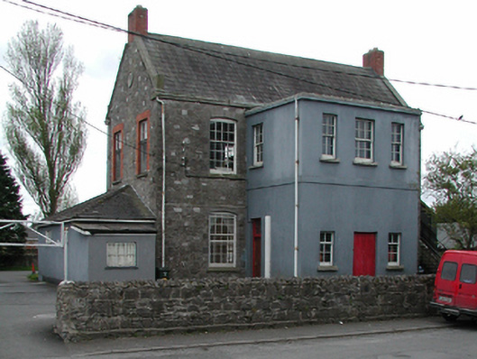 Sallins National Schoolschool · 303 yd
 Sallins LodgeCastle, tower house · 732 yd
 Enclosure in BodenstownEnclosure · 1329 yd
 EnclosureEnclosure, large enclosure · 1.0 mi
 Naas ParkWood · 1.1 mi
 Monread District Park WoodsWood · 1.1 mi
 IndicatedCastle, tower house · 1.6 mi
 Poplar SquarePicnic place · 1.8 mi
 Athgoe HillMountain / peak · 7.0 mi
 Cupidstown HillMountain / peak · 7.2 mi
 Saint Finian's WellSpring · 7.3 mi
Other information
Photo: Credit not shown in the picture search · Rights wording not checked; contact us if this picture should be removed