What is recorded here
A curvilinear cropmark (dims. 40m NW-SE; 29m ENE-WSW) identified by Simon Dowling on Google Earth Pro (Image © 2018 Digital Globe, imagery date 28 June 2018). The enclosure appears to extend northwestward from a field boundary running roughly E-W, which is also evident as a cropmark, however, there is a slight indication that the enclosure may continue S of the field boundary.
Compiled by: Jean Farrelly
Date of upload: 23 October 2018
The monument record does not grant public access. Check the route and ask the landowner before entering private land.
- What survives
- Recorded monument
Places near here
 Grangemaccomb Church (in ruins)Church · 550 yd
 Grange Ringfort (rath)Archaeological place · 589 yd
 QuarryEnclosure · 769 yd
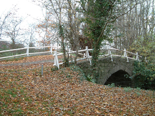 Grange Housebridge · 917 yd
 Ballyragget Cas.Castle, tower house · 1.1 mi
 Donaghmore WellSpring · 1.4 mi
 CastleCastle, unclassified · 1.4 mi
 Anker's IslandIsland · 2.9 mi
 Emma Jane Browne-ClaytonMemorial · 3.5 mi
 Red horse-chestnutRed horse-chestnut · 3.6 mi
 Freshford LoopWalking route · 4.1 mi
 Graveyard in ThreecastlesGraveyard · 4.1 mi