
What is recorded here
Identified during an aerial photographic survey by Dr. Gillian Barrett on 13-7-1990. Aerial photograph (GB90.BC.09) shows the cropmarks of two conjoined curvilinear enclosures with a smaller lunate enclosure linking the two main enclosures on the southern side. A similar lunate enclosure borders the western enclosure on its northern side. Traces of short linear fosses extending from the enclosures suggest an associated field system.
Compiled by: Gillian Barrett
Date of upload: 12 December 2011
The monument record does not grant public access. Check the route and ask the landowner before entering private land.
- What survives
- Recorded monument
Places near here
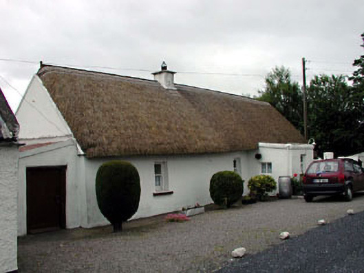 The Wee Thatchhouse · 411 yd
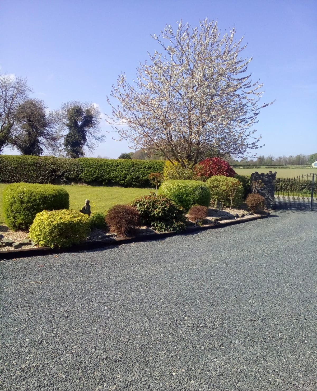 Enclosure in Oldgrange (monasterevin Ed)Enclosure · 798 yd
 Church in GlasselyChurch · 1067 yd
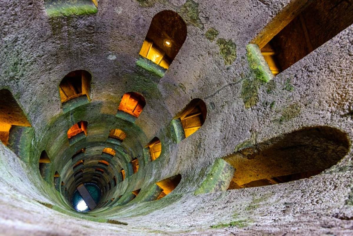 St. Patricks WellHoly well · 1349 yd
 CastleCastle, unclassified · 1.0 mi
 Narraghmore WoodWood · 1.3 mi
 Battle of Kilrushbattle · 1.5 mi
 Ardscull MoatCastle, motte · 2.3 mi
 Gorden Bennet Race memorialMemorial · 2.3 mi
 History of Moat of ArdscullVisitor information · 2.3 mi
 European BeechEuropean Beech · 2.3 mi
 Burtown House and GardensHeritage attraction · 3.0 mi
Other information
Photo: Credit not shown in the picture search · Rights wording not checked; contact us if this picture should be removed