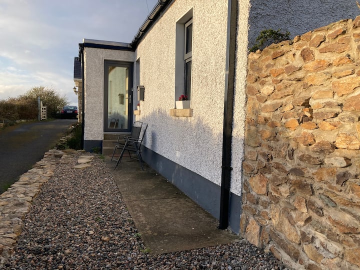
What is recorded here
Geophysical survey (Licence no. 13R023) was undertaken for route selection of the Greater Dublin Drainage Scheme. The results indicate an enclosure complex defined by a sub‐rectangular arrangement of magnetically strong linear ditch remains with peripheral curvilinear anomalies to the south‐east and weak trends to the east, south‐east, west, and south‐west. Combined these anomalies extend c.50m north/south by c.77m east/west (Nicholls 2013).
Compiled by: Christine Baker
Date of upload: 5 February 2015
The monument record does not grant public access. Check the route and ask the landowner before entering private land.
- What survives
- Recorded monument
Places near here
 Pit in BalloughPit · 358 yd
 Fulacht fia in Woodpark (balrothery East By.)Fulacht fia · 520 yd
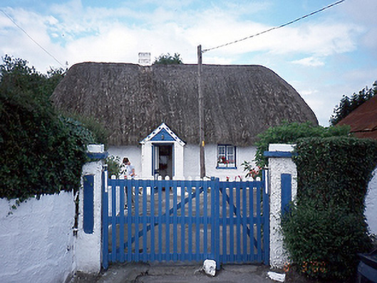 farm housefarm house · 1409 yd
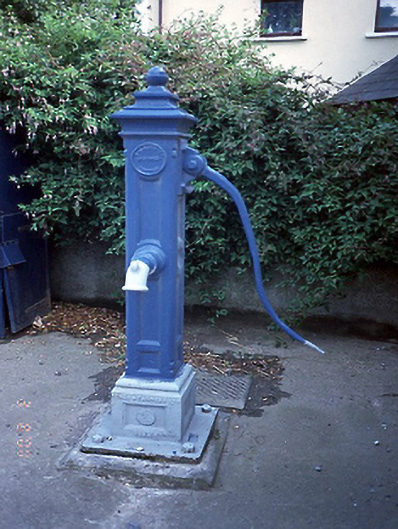 water pumpwater pump · 1436 yd
 Picnic AreaPicnic place · 1733 yd
 Thomas AsheMemorial · 1.2 mi
 Chapel FarmMemorial · 1.5 mi
 CastleCastle, unclassified · 2.2 mi
 Turvey Allotments and Nature ReserveNature reserve · 2.3 mi
 The Birds of Rogerstown EstuaryVisitor information · 2.4 mi
 Hollywood GreatMountain / peak · 3.3 mi
 St Kenny's WellSpring · 3.5 mi
Other information
Photo: Credit not shown in the picture search · Rights wording not checked; contact us if this picture should be removed