
What is recorded here
The following description is derived from both the published 'Archaeological Inventory of County Louth' (Dublin: Stationery Office, 1986) and the 'Archaeological Survey of County Louth' (Dublin: Stationery Office, 1991). In certain instances the entries have been revised and updated in the light of recent research.
Date of upload/revision: 17 July 2007
Sub-circular enclosure (max. dims. c. 50m N-S, c. 46m E-W) defined by cropmark ring on aerial photograph (CUCAP, BDP 47). Man-made underground passage (LH011-011002-) appears to be associated with it.
The monument record does not grant public access. Check the route and ask the landowner before entering private land.
- What survives
- Recorded monument
Places near here
 Newtown FortArchaeological place · 303 yd
 Enclosure in CarrickmullanEnclosure · 548 yd
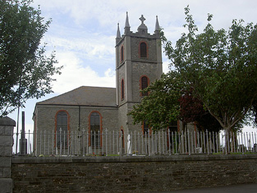 Saint Mary's Catholic Churchchurch/chapel · 800 yd
 Mount AshCastle, motte · 1723 yd
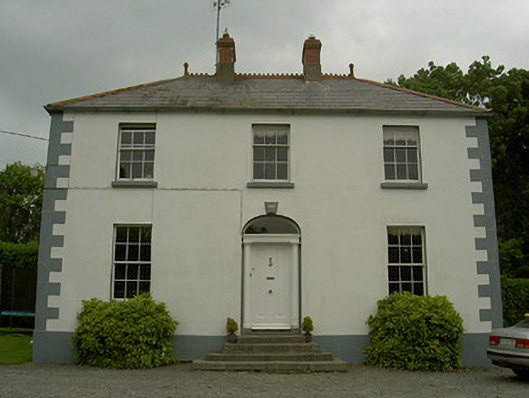 Hollow Househouse · 1.2 mi
 CastleCastle, tower house · 1.4 mi
:no_upscale()/cdn.vox-cdn.com/uploads/chorus_asset/file/25593391/County_Louth_6th.jpg) LouthMountain / peak · 2.5 mi
LouthMountain / peak · 2.5 mi Photo GalleryHeritage attraction · 3.8 mi
 Dundalk CentralHeritage attraction · 3.8 mi
 Maid of ErinMemorial · 4.3 mi
 Bombing 1975Memorial · 4.3 mi
 Sky HillMountain / peak · 5.6 mi
Other information
Photo: Credit not shown in the picture search · Rights wording not checked; contact us if this picture should be removed