
What is recorded here
Enclosure in Newtown East is a possible oval ancient site about ninety-five metres long on a gentle south-facing slope in County Clare. Its boundary still appears as a curving bank and shadowed ditch, while later field walls have swallowed part of the shape. A ringfort lies a short distance to the northeast, suggesting the area may have supported more than one occupied or ceremonial place. The surrounding forestry now holds the enclosure in darkness, keeping its older line hidden but unbroken.
On a gentle S-facing slope in pasture and surrounded by forestry plantations from NW to S. A possible oval enclosure (c. 95m N-S; c. 75m E-W) visible on Digital Globe (2011-2013). It is defined NW-NE by a cropmark of a possible broad fosse and from NE-S by a curving overgrown fosse or bank. From S to NW the enclosing elements are incorporated into a later field boundary. Reported to the National Monuments Service in 2022 by Séamus Ó Murchú of the Forestry Inspectorate. Several applications have been made to the Forest Service (in 2014, 2016, 2019 and 2022) regarding planting in the immediate vicinity of this possible enclosure and an exclusion zone (20m) has been applied. A ringfort (CL066-020----) lies c. 115m to the NE.
Compiled by: Mary Tunney
Date of upload: 25 November 2025
The monument record does not grant public access. Check the route and ask the landowner before entering private land.
- What survives
- Recorded monument
Places near here
 Enclosure in QuerrinEnclosure · 1178 yd
 IndicatedChurch · 1619 yd
 Querrin PointHeadland · 1736 yd
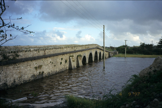 Blackweir Bridgebridge · 1.8 mi
 CorlisFairy fort / earthen ringfort · 1.8 mi
 Cusheen PointHeadland · 3.2 mi
 Glasheen BeachBeach / strand · 3.2 mi
 Scattery IslandIsland · 3.5 mi
 Castle (in Ruins)Castle, unclassified · 3.6 mi
 Scattery Island Visitor CentreVisitor information · 3.6 mi
 FortCastle · 3.8 mi
 St. Senan's WellSpring · 3.9 mi
Other information
Photo: Credit not shown in the picture search · Rights wording not checked; contact us if this picture should be removed