What is recorded here
In mixed pasture and scrubland. Marked as a circular enclosure (diam. c. 35m) on the 1838 edition of the OS 6-inch map; partially levelled on the 1922 edition. On inspection in September 1982 all that survived were the poorly preserved remains of an enclosure (diam. c. 25m) defined by a wall footing of massive stones from NE through E to WSW. At WSW the wall dog-legged and ran WNW to meet a modern drystone wall curving from WNW to NE. The latter wall, which may have mirrored the outline of the earlier wall, formed part of the enclosing wall surrounding a tree copse to the NW.
Compiled by: Galway Archaeological Survey, UCG
Date of upload: 18 April 2019
The monument record does not grant public access. Check the route and ask the landowner before entering private land.
- What survives
- Recorded monument
Places near here
 Man-made underground passage in BallylennanMan-made underground passage · 543 yd
 Calluragh Chapel (in ruins)Church · 747 yd
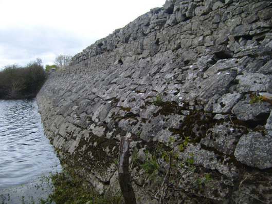 road (section of)road (section of) · 790 yd
 Hilltop enclosure in DrumminacloghaunHilltop enclosure · 972 yd
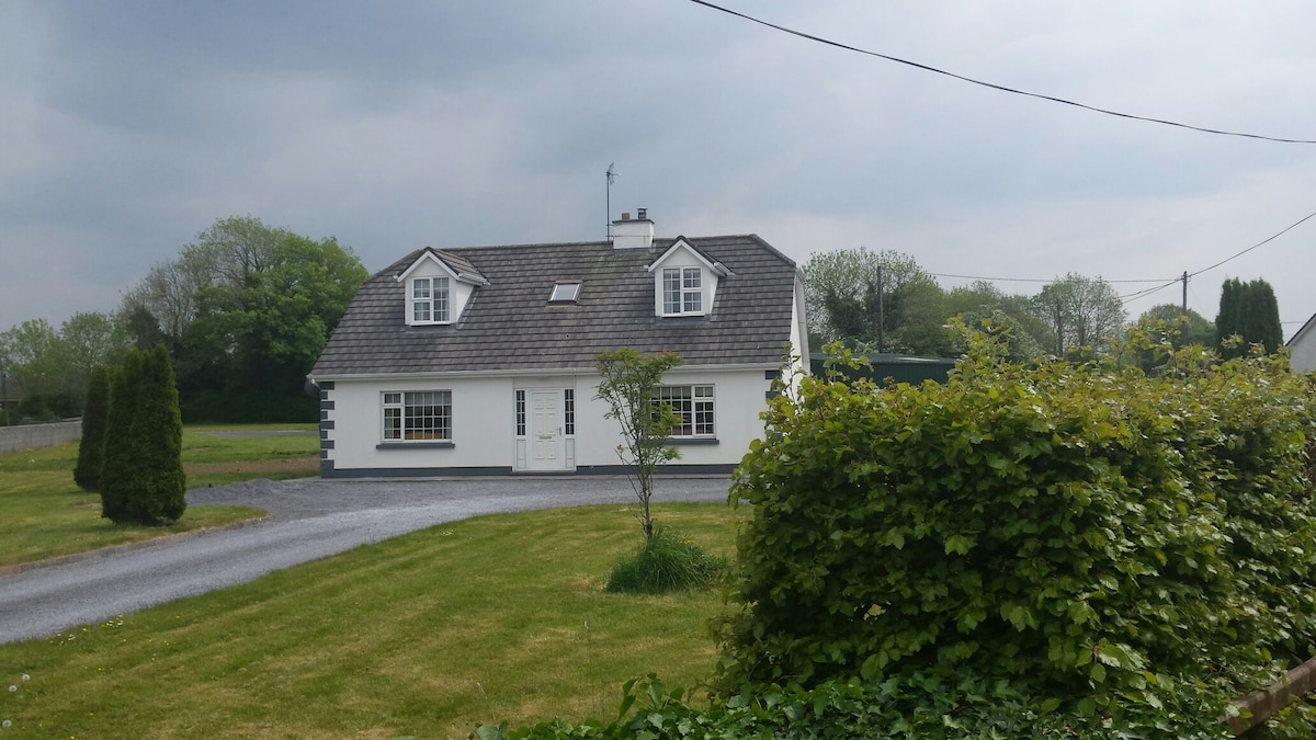 Bawn in Castlequarter (kiltartan By.)Bawn · 1319 yd
 Cavalry Bks on Site of Gort CastleCastle, unclassified · 1.1 mi
 Coole-Garryland Nature ReserveNature reserve · 1.4 mi
 Holm OakHolm Oak · 1.6 mi
 Kilmacduagh Monastic SiteVisitor information · 2.2 mi
 Kilmacduagh MonasteryHeritage attraction · 2.3 mi
 Castle IslandIsland · 3.2 mi
 Swan IslandIsland · 3.6 mi