What is recorded here
On a slight N-facing slope in pasture. A circular area (diam. c. 45m) visible as a cropmark on Google Earth imagery (20 March 2020) and reported to the National Monuments Service by Jean-Charles Caillère. It is also faintly visible on Digital Globe (2011-2013).
The following image has been uploaded:
CL057-073----_01.jpg Google Earth image 20 March 2020
Compiled by: Mary Tunney
Date of upload: 18 January 2022
The monument record does not grant public access. Check the route and ask the landowner before entering private land.
- What survives
- Recorded monument
Places near here
 Enclosure in BallykettEnclosure · 1018 yd
 Enclosure in RapeparkEnclosure · 1.1 mi
 IndicatedCastle, unclassified · 1.4 mi
 Saint Senan's Catholic Churchchurch/chapel · 1.6 mi
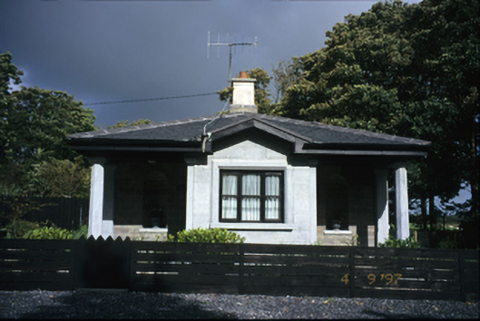 Kilrush Housegate lodge · 1.9 mi
 St Senan's WellSpring · 2.1 mi
 Vandeleur Walled GardenHeritage attraction · 2.2 mi
 The Museum of Irish Rural LifeMuseum · 2.4 mi
 St. Senan's WellSpring · 2.7 mi
 Ballymacrinan BayBay · 3.2 mi
 Mall PointHeadland · 4.2 mi
 Castle (in Ruins)Castle, unclassified · 4.5 mi