
What is recorded here
On brow of NE-facing slope in marshland. A raised, partially levelled, subrectangular area (diam. c. 32m) defined in the E sector by a low, denuded bank (max. int. H 0.6m). The interior slopes gently from S to N and is covered in dense overgrowth. This enclosure appears to be part of a larger complex of earthworks associated with a deserted settlement (KK020-022004-) surrounding a castle (KK020-022001-) which lies c. 100m to the N.
Compiled by: Jean Farrelly
Date of upload: 24 November 2020
The monument record does not grant public access. Check the route and ask the landowner before entering private land.
- What survives
- Recorded monument
Places near here
 Moonhall Castle (ruins)Castle · 130 yd
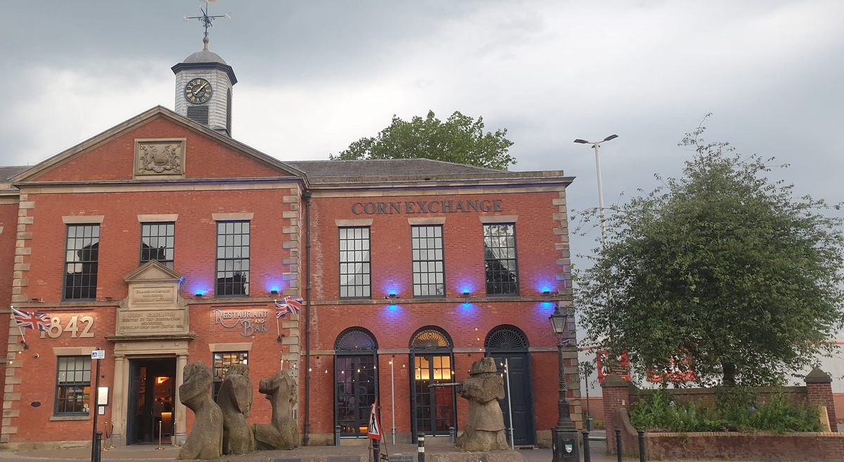 Moneynamuck Ringfort (rath)Archaeological place · 213 yd
 Enclosure in Coolgrange (gowran By.)Enclosure · 381 yd
 HawthornHawthorn · 825 yd
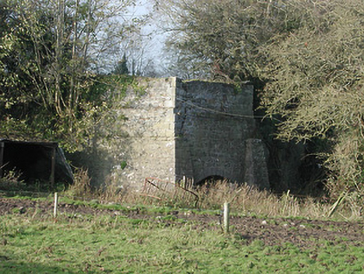 kilnkiln · 1720 yd
 CastleCastle, motte · 1736 yd
 Clara Church (in ruins)Church · 1.1 mi
 St. Mogarra’s WellSpring · 1.6 mi
 Dunbell Big RingfortWood · 4.0 mi
 Kilkenny AirsoftHeritage attraction · 4.8 mi
 Ivan PowerMemorial · 4.9 mi
 Michael CarthyMemorial · 5.0 mi
Other information
Photo: Credit not shown in the picture search · Rights wording not checked; contact us if this picture should be removed