
What is recorded here
Coolgrange enclosure faced a hillfort and cairn across the valley, measuring roughly forty-eight by sixty-two metres before ploughing erased its ridge. It appeared on early maps as an oval mark on the hillslope, suggesting people shaped that land long before modern fields covered it. The soil now hides the ditch, but the shape remains plausible because it opposed known monuments rather than appearing randomly.
On hillslope opposite the hillfort (KK020-018002-) and cairn (KK020-018001-) across the valley on Freestone Hill. Indicated on the 1st (1839) ed. OS 6-inch map and 1900 revision as an irregular roughly oval enclosure (dims. c. 48m N-S; c. 62m E-W). It has subsequently been levelled and can be seen as the cropmark of a fosse on an aerial photograph (ASIAP (17) 0, 1995). Another enclosure (KK020-089----) has also been identified as a cropmark on an aerial photograph adjoining to the N.
See attached aerial photograph (ASIAP (17) 0, 1995
Compiled by: Jean Farrelly
Date of upload: 24 November 2020
The monument record does not grant public access. Check the route and ask the landowner before entering private land.
- What survives
- Recorded monument
Places near here
 Enclosure in MoonhallEnclosure · 381 yd
 Moneynamuck Ringfort (rath)Archaeological place · 407 yd
 Moonhall Castle (ruins)Castle · 501 yd
 HawthornHawthorn · 574 yd
 Clara Church (in ruins)Church · 1720 yd
 CastleCastle, motte · 1723 yd
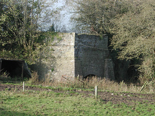 kilnkiln · 1.1 mi
 St. Mogarra’s WellSpring · 1.7 mi
 Dunbell Big RingfortWood · 3.7 mi
 Kilkenny AirsoftHeritage attraction · 4.6 mi
 Ivan PowerMemorial · 4.8 mi
 Michael CarthyMemorial · 4.9 mi
Other information
Photo: Credit not shown in the picture search · Rights wording not checked; contact us if this picture should be removed