What is recorded here
A roughly circular enclosure (diam. c. 45m N-S; c. 40m E-W) visible on Google Earth (imagery date 14 July 2018), identified and reported by Simon Dowling. Another enclosure (KK020-116---) conjoins to the W and a ringfort (KK020-023----) conjoins to the SE. Though the enclosure is indicated on the 1st ed. OS map, a field boundary, running roughly E-W, kinks to respect the N quadrant of the enclosure.
See attached Google Earth image (imagery date 14 July 2018)
Compiled by: Jean Farrelly
Date of upload: 22 January 2020
The monument record does not grant public access. Check the route and ask the landowner before entering private land.
- What survives
- Recorded monument
Places near here
 Moneynamuck Ringfort (rath)Archaeological place · 52 yd
 Enclosure in MoonhallEnclosure · 161 yd
 Moonhall Castle (ruins)Castle · 258 yd
 HawthornHawthorn · 915 yd
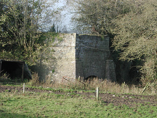 kilnkiln · 1573 yd
 CastleCastle, motte · 1.1 mi
 Clara Church (in ruins)Church · 1.1 mi
 St. Mogarra’s WellSpring · 1.7 mi
 Dunbell Big RingfortWood · 4.0 mi
 Kilkenny AirsoftHeritage attraction · 4.8 mi
 Ivan PowerMemorial · 5.0 mi
 Michael CarthyMemorial · 5.0 mi