What is recorded here
In undulating pasture. Rectangular area (c. 28m N-S; c. 30m E-W) enclosed by earthen bank on W, N and E sides but no visible trace of enclosing element on S side. On N side bank incorporated into E-W field boundary. Bank best preserved on W side (int. H 0.4m; ext. H 1.25m) but reduced on E side to low broad bank (int. H 0.35m; ext. H 0.45m; Wth 3.5m). Enclosing bank and much of interior overgrown with trees and bushes. Interior level with uneven surface.
Compiled by: Denis Power
Date of upload: 26 August 2011
This remains an important historical record, but the official description says the monument is no longer visible or has been destroyed. The monument record does not grant public access. Check the route and ask the landowner before entering private land.
- What survives
- No visible remains or recorded as destroyed
Places near here
 Moneymohill National Schoolschool · 58 yd
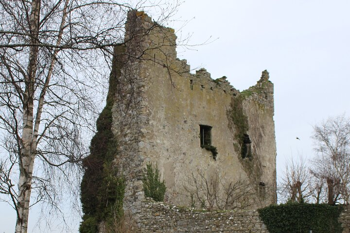 Kyleroe Fort - HachuredFairy fort / earthen ringfort · 769 yd
 Burying GroundBurial ground · 771 yd
 bridgebridge · 1291 yd
 Shanid Castle (in ruins)Castle, Anglo-Norman masonry castle · 1.6 mi
 Shanid CastleCastle · 1.6 mi
 TobercloonaghSpring · 3.1 mi
 Prospect HillMountain / peak · 3.9 mi
 Monterey CypressMonterey Cypress · 4.2 mi
 Foynes Flying Boat & Maritime MuseumMuseum · 5.0 mi
 St. Luke's WellSpring · 5.0 mi
 Foynes Island ViewpointViewpoint · 5.1 mi