
What is recorded here
Possible enclosure reused as a Landscape feature in 19th century as depicted on 1st. ed. OS 6-inch map. Situated atop low rise of ground in slightly undulating countryside. Site consists of a a circular area (int. diam. N-S 23m ) defined by a tree-lined scarp (H 0.5m) with no clear entrance feature visible. Doubtful antiquity.
Compiled by: Jean Farrelly and Caimin O'Brien
Date of upload/revision: 22 September 2008
The monument record does not grant public access. Check the route and ask the landowner before entering private land.
- What survives
- Recorded monument
Places near here
 Enclosure in MonaraheenEnclosure · 398 yd
 Coolcroo CastleCastle, tower house · 549 yd
 Enclosure in RathcunikeenEnclosure · 1299 yd
 Church (in ruins)Church · 1323 yd
 CastleCastle, tower house · 1327 yd
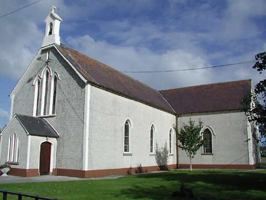 Saint James's Catholic Churchchurch/chapel · 1566 yd
 European ashEuropean ash · 1.2 mi
 Sweet ChestnutSweet Chestnut · 1.7 mi
 St. Mary's Famine and War MuseumMuseum · 3.5 mi
 Famine & War MuseumMuseum · 3.6 mi
 Horse and JockeyVisitor information · 3.8 mi
 Gobban Saer's GraveArchaeological place · 4.5 mi
Other information
Photo: Credit not shown in the picture search · Rights wording not checked; contact us if this picture should be removed