What is recorded here
In rough pasture, atop low rise. Sub-circular area (diam. c. 25m) covered by dense thicket of gorse and thorn is defined along edge NNE-WSW by scarp (Wth 1.4m; H 0.2m) with shallow external fosse (Wth 6m; D 0.15). Enclosure truncated WSW-NNE by linear field boundary.
Compiled by: Denis Power
Date of upload: 26 August 2011
The monument record does not grant public access. Check the route and ask the landowner before entering private land.
- What survives
- Recorded monument
Places near here
 Mound in MoneymohillMound · 636 yd
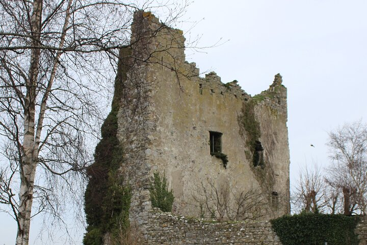 Kyleroe Fort - HachuredFairy fort / earthen ringfort · 1314 yd
 bridgebridge · 1731 yd
 Moneymohill National Schoolschool · 1733 yd
 TobercloonaghSpring · 2.2 mi
 Shanid Castle (in ruins)Castle, Anglo-Norman masonry castle · 2.5 mi
 Shanid CastleCastle · 2.5 mi
 Prospect HillMountain / peak · 3.0 mi
 Monterey CypressMonterey Cypress · 4.2 mi
 Foynes Flying Boat & Maritime MuseumMuseum · 5.3 mi
 Foynes Island ViewpointViewpoint · 5.4 mi
 Mountshannon PointHeadland · 5.4 mi