
What is recorded here
North of the rath (ME025-081----) and W of the NNE-SSW boundary ditch (ME025-082----) an E-W ditch (L c. 20m; Wth c. 1.7m; D c. 0.63m) that turns N at either end fed into the boundary ditch at E. Its W end runs off the excavated area but its E end appears to be contemporary with both the early and the later phases of the primary boundary ditch. Together with the major E-W ditch further N it could have formed a rectangular enclosure (dims c. 30m NE-SW; c. 20m E-W), although the junction at NW cannot be confirmed. Three ring-ditches (ME025-081002-) are within its N end. A fire-pit outside the W end of the S boundary of this enclosure with a C14 date of 427-584 Cal. AD (UB-7579) may have caused the diversion of the ditch NE, and the E-W section cut a deeper pit (dims 2.5m x 1.5m; D 0.8m) in its base. This S boundary also had gullies in its base, and at one point there were four post-holes in a cluster on the sides of the ditch which it is suggested may have functioned as a sluice gate. One of the post-holes provided a C14 date of 768-899 Cal. AD (UB-7577). Five isolated pits were around this ditch and one was cut in its upper fill. Artefacts such as bone pins and iron knives were mixed with post-medieval pottery. North of these features four NW-SE shallow ditches with a charcoal content extended into the major NNE-SSW boundary while one performed Z-shaped changes in direction before cutting through the top fill of the major ditch. All these features, although relating to the late phase of the NNE-SSW boundary ditch, have a large quantity of post-medieval material. A wide E-W ditch enters the boundary ditch from the E, post-dating the primary phase of that feature but the relationship with the second phase could not be established (Giacometti 2007, 35-9).
See the attached plans:_02 of excavated features (from Halliday 2009 fig. 25); _03 Rectangular enclosure and ring-ditches from Giacometti (2007 fig. 6)
Compiled by: Michael Moore
Date of upload: 5 April, 2023
Giacometti, A. 2007 Site 1. Navan Inner Relief Road. Licence: 06E0274. Final unpublished report, Arch-Tech
A local fairy fort (ringfort/rath); wider significance not recorded.
The monument record does not grant public access. Check the route and ask the landowner before entering private land.
- What survives
- Recorded monument
Places near here
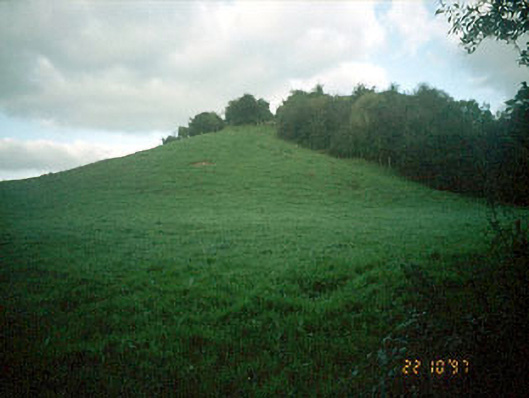 Navan MoatOfficially recorded historic building · 135 yd
 Enclosure in MoathillEnclosure · 166 yd
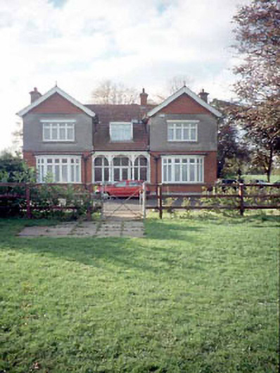 Mount Rivershouse · 174 yd
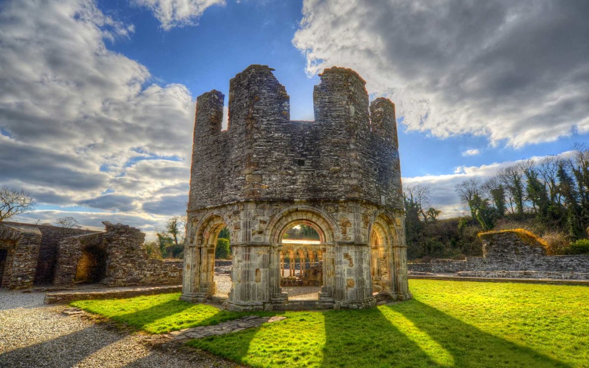 Burnt spread in Abbeyland SouthBurnt spread · 1008 yd
 The RampartWood · 1519 yd
 Nangle CourtMemorial · 1571 yd
 CastleCastle, motte · 1.0 mi
 Rathaldron Ho.Castle, tower house · 1.3 mi
 Blackcastle DemesneWood · 2.0 mi
 Donaghmore Round TowerHeritage attraction · 2.0 mi
 BohermeenMountain / peak · 3.0 mi
 Carn HillMountain / peak · 3.1 mi
Other information
Photo: Credit not shown in the picture search · Rights wording not checked; contact us if this picture should be removed