What is recorded here
Visible on an aerial photograph (GSAP ACP 685) as the cropmark of a small rectangular enclosure. On a gentle SW-facing pasture slope. No visible surface trace survives.
Compiled by: Gearóid Conroy
Date of upload: 29 August 2012
The monument record does not grant public access. Check the route and ask the landowner before entering private land.
- What survives
- Recorded monument
Places near here
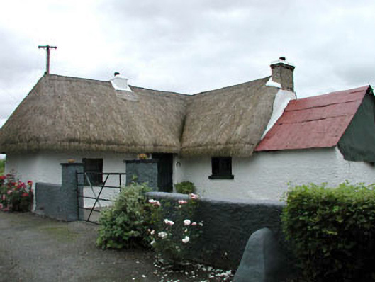 farm housefarm house · 1287 yd
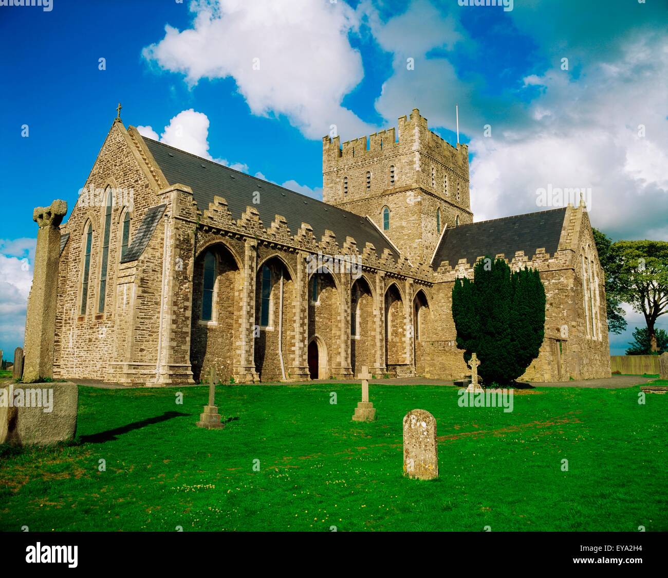 St. Bridgets WellHoly well · 1422 yd
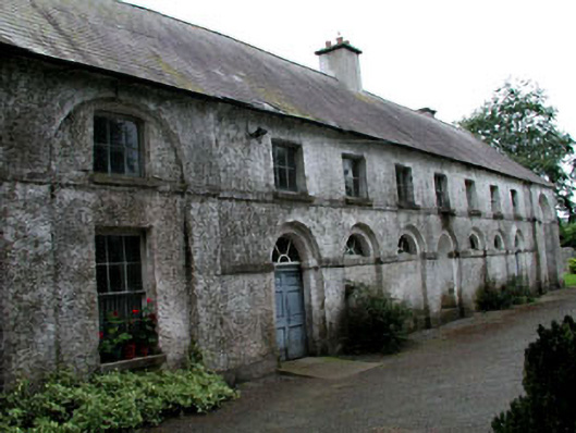 Riverstown Househouse · 1488 yd
 Enclosure in Killeen WestEnclosure · 1492 yd
 Green's WoodForest · 1508 yd
 Moore Abbey WoodWood · 1.1 mi
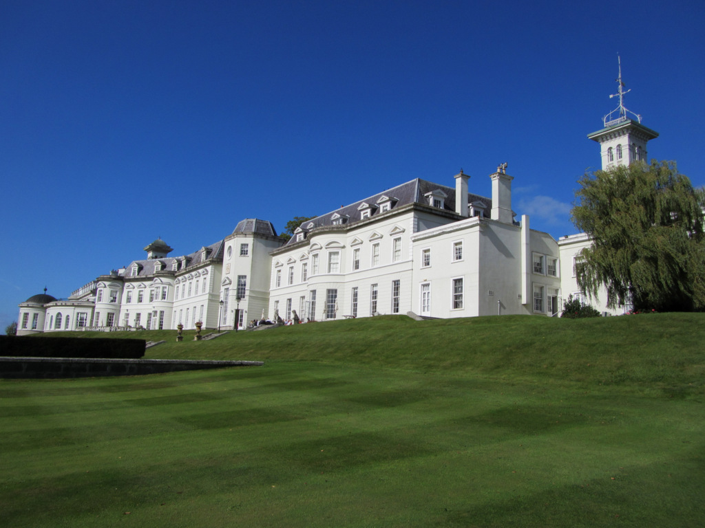 Cloney CastleCastle, unclassified · 3.3 mi
 OutlinedCastle, unclassified · 3.6 mi
 Bog Lake WalkWalking route · 7.5 mi
 Derryounce Walk (Yellow Loop)Walking route · 7.8 mi
 Bithia Mary CrokerMemorial · 7.8 mi
 SugarloafMountain / peak · 21 mi