What is recorded here
On an E-facing slope in grassland. This poorly preserved roughly subrectangular enclosure (c. 57m NE-SW; c. 45m NW-SE) is defined by a bank of earth and stone. A NW-SE running field wall cuts across it at WNW and S and no visible surface trace of the bank survives to the SW of it. No trace of a fosse is evident. Abutting the monument at E is a subrectangular enclosure (GA099-104001-) which may be associated.
Compiled by: Galway Archaeological Survey, UCG
Date of upload: 17 April 2019
The monument record does not grant public access. Check the route and ask the landowner before entering private land.
- What survives
- Recorded monument
Places near here
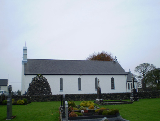 Catholic Church of Our Lady of the Assumptionchurch/chapel · 1017 yd
 ToberoranHoly well · 1260 yd
 Monumental structure in BallyluogeMonumental structure · 1529 yd
 Killallaghtan ChurchChurch · 1672 yd
 Park CastleCastle, hall-house · 1.3 mi
 Bawn in Cooltymurraghy (clonmacnowen By.)Bawn · 1.9 mi
 Battle of AughrimMajor battlefield · 3.4 mi
 The bloody HollowHeritage attraction · 3.5 mi
 Battle of Aughrim Interpretative CentreMuseum · 3.7 mi
 Oak WoodWood · 4.3 mi
 Urraghry HillMountain / peak · 4.5 mi
 European YewEuropean Yew · 4.6 mi
Other information
Photo: Credit not shown in the picture search · Rights wording not checked; contact us if this picture should be removed