What is recorded here
In tillage field, cropmark of large oval-shaped area (dims. c. 70m N-S x 46m E-W) defined by a ditch visible on Google Earth photograph.
Compiled by: Matt Kelleher based on details provided by Jean-Charles Caillère
See attached image
Date of upload/revision: 29 March 2022
The monument record does not grant public access. Check the route and ask the landowner before entering private land.
- What survives
- Recorded monument
Places near here
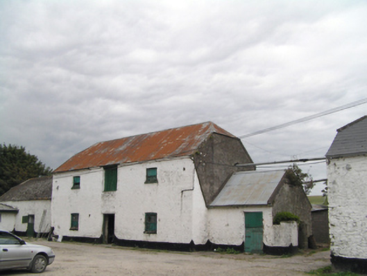 Ramhill Cottagefarmyard complex · 189 yd
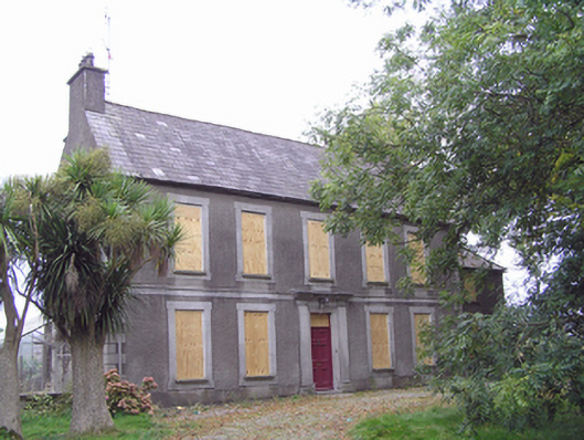 Rose Hillhouse · 607 yd
 Malt HouseMaltings · 740 yd
 MalthouseMaltings · 759 yd
 Edward BransfieldMemorial · 811 yd
 Ballyannan (Bluebell) WoodsForest · 1384 yd
 Castle Redmond (Site of)Castle, unclassified · 1536 yd
 Noel Collins BridgeVisitor information · 1.0 mi
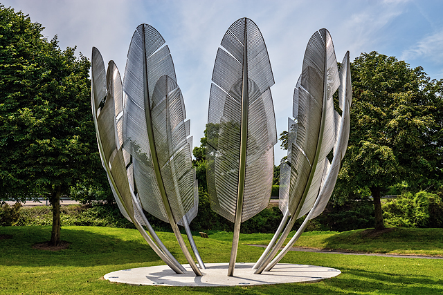 Kindred SpiritsMemorial · 1.0 mi
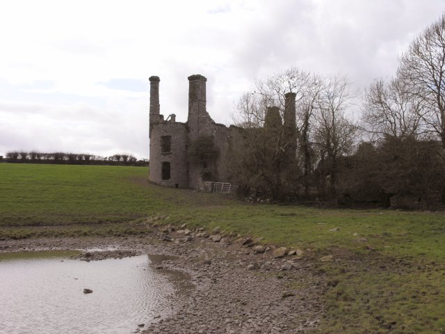 Ballyannan Castle (in Ruins)House, fortified house · 1.2 mi
 Jameson Distillery MidletonHeritage attraction · 1.5 mi
 Tower WoodForest · 2.1 mi