What is recorded here
There is a clear cropmark of a circular enclosure in this position on: http://binged.it/12ze2av. This information was conveyed to ASI by Simon Dowling on 9 July 2013.
Compiled by: Denis Power
Date of upload: 19 August 2013
The monument record does not grant public access. Check the route and ask the landowner before entering private land.
- What survives
- Recorded monument
Places near here
 Bruree Castle Lower (in ruins)Castle, Anglo-Norman masonry castle · 1130 yd
 Eagle Mount MoteCastle, motte · 1202 yd
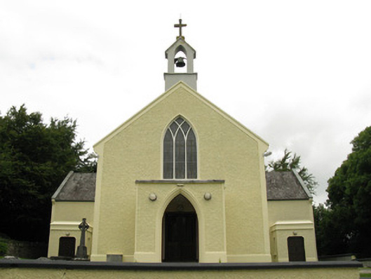 Saint Munchin's Catholic Churchchurch/chapel · 1261 yd
 BarrowBarrow, ring-barrow · 1324 yd
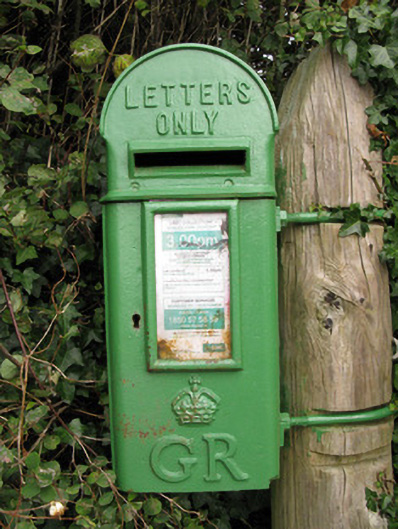 post boxpost box · 1438 yd
 Enclosure in Dromacummer WestEnclosure · 1670 yd
 Saint Derivla's WellSpring · 4.6 mi
 King John's CastleCastle · 4.9 mi
 Lady's WellSpring · 5.1 mi
 KnockfeerinaMountain / peak · 6.2 mi
 Famine stoneMemorial · 6.7 mi
 Flat cemetery in Kiltenan SouthFlat cemetery · 9.3 mi