What is recorded here
Longstown's lost enclosures survive only as faint ridges beneath pasture, yet the local road still bends around them like a creature avoiding a wound. That unchanged curve suggests the earth kept its shape after human tools erased it.
In pasture, on SE-facing slope. According to Power (1918, 202) 'The O.M.records two lioses....Both have unfortunately disappeared, along with a third, which the map has left unrecorded'. Levelled; slight undulations in field indicate position; N-S roadway curves to respect site.
The above description is derived from the published 'Archaeological Inventory of County Cork. Volume 2: East and South Cork' (Dublin: Stationery Office, 1994). In certain instances the entries have been revised and updated in the light of recent research.
Date of upload/revision: 14 January 2009
The monument record does not grant public access. Check the route and ask the landowner before entering private land.
- What survives
- Recorded monument
Places near here
 Fulacht fia in FahydorganFulacht fia · 448 yd
 Folacht FiadhFulacht fia · 637 yd
 IndicatedCountry house · 1365 yd
 Garrancloyne Househouse · 1.0 mi
 Curragh WoodsWood · 1.8 mi
 Leamlara Castle (in Ruins)Castle, tower house · 2.3 mi
 Harper's IslandIslet · 3.1 mi
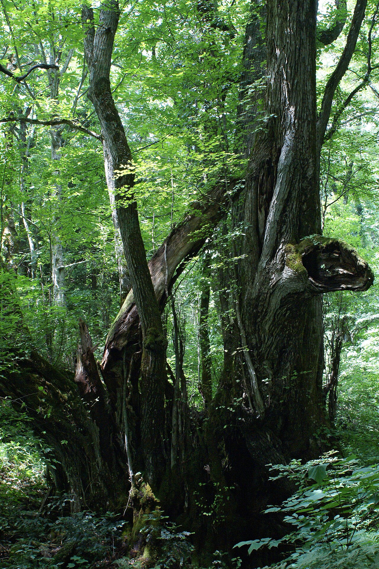 Katsura treeKatsura tree · 3.2 mi
 Fota Arboretum and GardensHeritage attraction · 3.4 mi
 Belvelly CastleCastle · 3.7 mi
 Gleeson MemorialMemorial · 3.8 mi
 Great IslandIsland · 4.7 mi