What is recorded here
Enclosure in Longstown was a rectangular wall, twenty metres across, drawn on the 1842 map before ploughs and profit erased it. Power wrote in 1918 that two lioses existed there, one square, and both had disappeared. The field keeps only a slight rise now, but the shape remains plausible because measurement recorded it before forgetting did.
In pasture, on E-facing slope. Shown as rectangular enclosure (c. 20m E-W; c. 15m N-S) on 1842 OS 6-inch map. Levelled; slight rise visible in field. According to Power (1918, 202) 'The O.M. records two lioses - one of them square. Both have unfortunately disappeared'. Possible ringfort (CO064-095---) c. 170m to W; fulacht fiadh (CO064-094---) c. 130m to S.
The above description is derived from the published 'Archaeological Inventory of County Cork. Volume 2: East and South Cork' (Dublin: Stationery Office, 1994). In certain instances the entries have been revised and updated in the light of recent research.
Date of upload/revision: 14 January 2009
The monument record does not grant public access. Check the route and ask the landowner before entering private land.
- What survives
- Recorded monument
Places near here
 Fulacht fia in FahydorganFulacht fia · 132 yd
 Folacht FiadhFulacht fia · 950 yd
 IndicatedCountry house · 1084 yd
 Garrancloyne Househouse · 1486 yd
 Curragh WoodsWood · 1.9 mi
 Barryscourt CastleCastle · 2.0 mi
 Barrys Court Castle, Tower(s)Castle, tower house · 2.0 mi
 Leamlara Castle (in Ruins)Castle, tower house · 2.4 mi
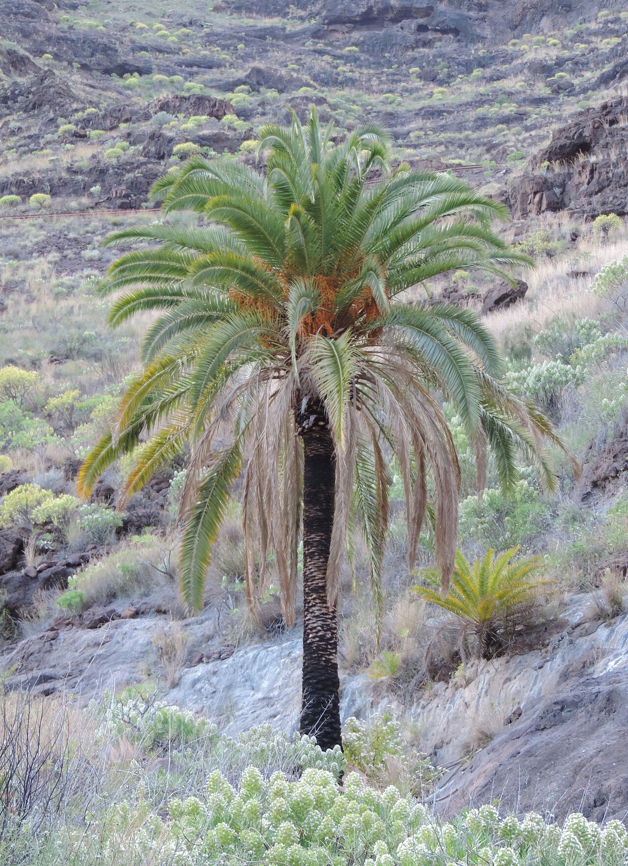 Canary Island date palmCanary Island date palm · 3.2 mi
 Fota Arboretum and GardensHeritage attraction · 3.2 mi
 Gleeson MemorialMemorial · 3.8 mi
 Great IslandIsland · 4.5 mi