What is recorded here
In improved, generally level pasture with natural surface undulations. Barely traceable arc (dims. 18m E-W; 10m N-S) of levelled bank (Wth c. 10m; int. H 0.25m; ext. H 0.15m) WNW->N->E. Deeply disturbed by modern farming practices and incorporated into field as pasture. Reported to the Archaeological Survey of Ireland as the cropmark of an enclosure. Arc of bank noted during field visit corresponds to roughly circular anomaly traceable upon modern aerial photography (Bing 2013).
Compiled by: Alison McQueen and Vera Rahilly
Date of upload: 18 November 2014
The monument record does not grant public access. Check the route and ask the landowner before entering private land.
- What survives
- Recorded monument
Places near here
 Lissivigeen Stone CircleHeritage attraction · 1022 yd
 Mass RockNamed rock · 1270 yd
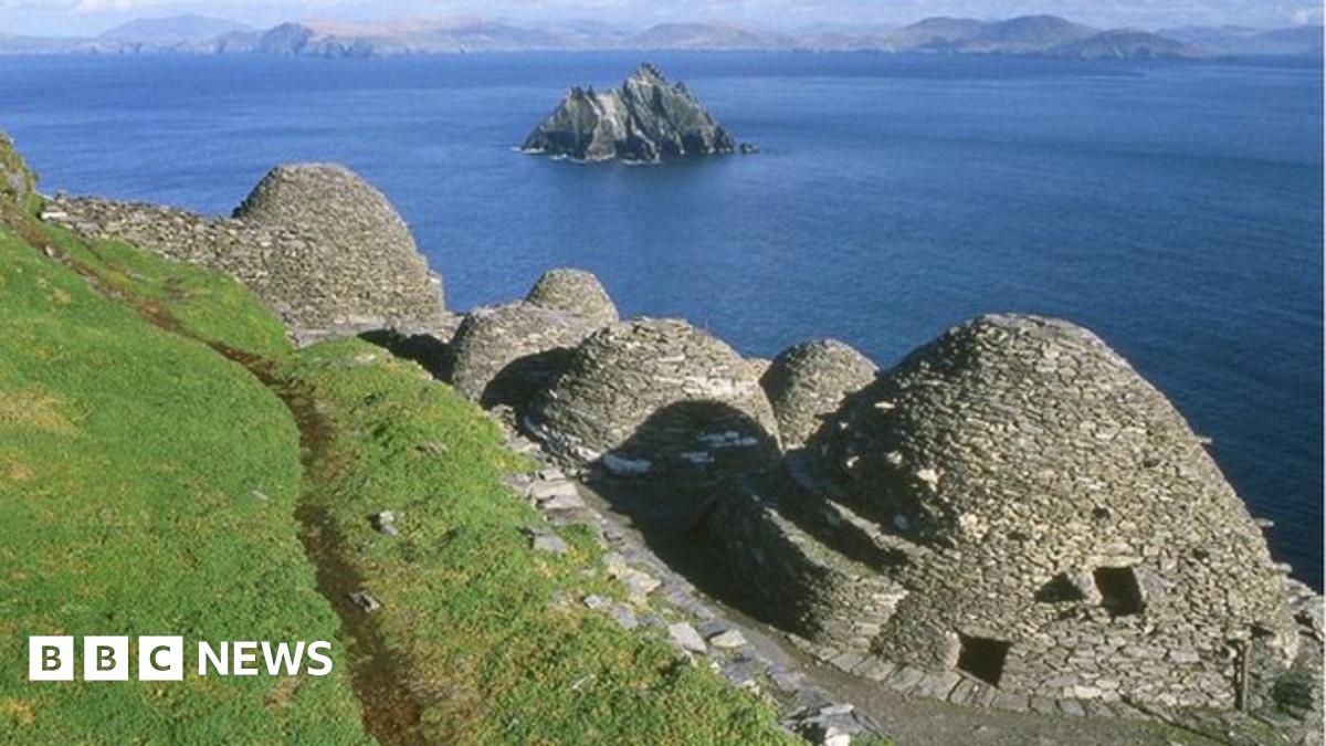 Hut site in ClasheenHut site · 1353 yd
 Woodfordhouse · 1360 yd
 Hut site in BallahacommaneHut site · 1487 yd
 Religious houseReligious house, Franciscan friars · 1534 yd
 Flesk CastleCastle · 1.2 mi
 Sheheree Bog Nature ReserveNature reserve · 1.7 mi
 Killarney First World War MemorialMemorial · 2.4 mi
 Jaunting ToursHeritage attraction · 2.4 mi
 McCarthy Mor CastleCastle · 2.5 mi
 Monsignor Hugh O'Flaherty MemorialMemorial · 2.6 mi