What is recorded here
Some 100m NE of an enclosure (GA016-111----). Aerial reconnaissance in July 1965 (CUCAP ALR 82) revealed faint traces of a semicircular area (D c. 20m) defined by a vegetation band. This was truncated on SE side by a modern field boundary running NNE-SSW. No visible surface trace survives. A natural hollow lies immediately to S.
The above description is derived from the published 'Archaeological Inventory of County Galway Vol. II - North Galway'. Compiled by Olive Alcock, Kathy de hÓra and Paul Gosling (Dublin: Stationery Office, 1999).
Date of upload: 05 August 2010
The monument record does not grant public access. Check the route and ask the landowner before entering private land.
- What survives
- Recorded monument
Places near here
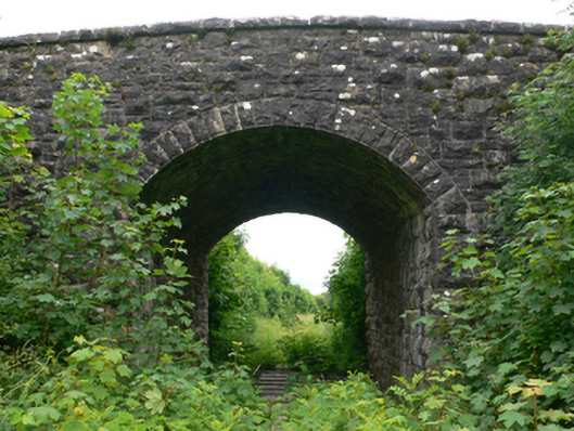 bridgebridge · 640 yd
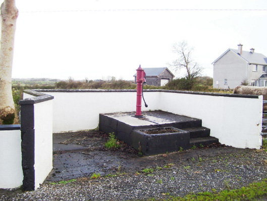 water pumpwater pump · 698 yd
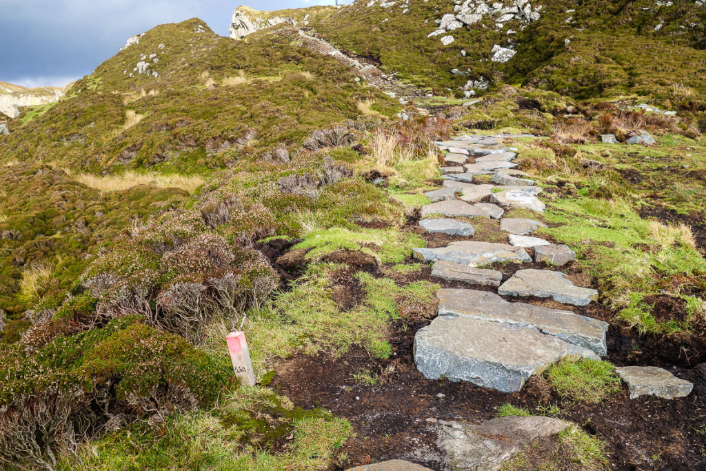 Mass-rock in LiskeevyMass-rock · 896 yd
 Enclosure in LissanannyEnclosure · 1127 yd
 Fartamore Castle (ruins)Castle · 1.3 mi
 Fartamore Castle in ruinsCastle, tower house · 1.3 mi
 European ashEuropean ash · 3.9 mi
 Mass RockNamed rock · 4.3 mi
 European YewEuropean Yew · 5.1 mi
 Ross Errilly FriaryHeritage attraction · 11 mi
 Otter IslandIslet · 14 mi
 Inis Mhic an TrírIsland · 14 mi