What is recorded here
Situated on a small, level terrace bordered at W by a narrow stream gully. Slightly raised circular area (c.16m E-W; 14m N-S) defined from NW-N-NE by a scarp (H 0.75m - 1.5m). At E the scarp is almost vertical and is faced with large boulders two courses high, possibly a later addition. At S the defining element is a series of boulders and large stones. At W a poorly defined scarp bounded by a stream marks the perimeter. No fosse. Original entrance not recognisable.
Compiled by: Patrick F. O'Donovan
Date of upload: 19 January 2011
The monument record does not grant public access. Check the route and ask the landowner before entering private land.
- What survives
- Recorded monument
Places near here
 Enclosure in LismacbryanEnclosure · 450 yd
 IndicatedEnclosure · 523 yd
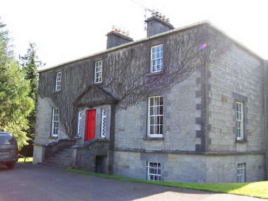 Toberfeckin Houserectory/glebe/vicarage/curate's house · 1646 yd
 European ashEuropean ash · 1658 yd
 Religious houseReligious house, unclassified · 1684 yd
 Pigeonpark WoodForest · 1.4 mi
 Bawn in Longford DemesneBawn · 1.4 mi
 DoomoreMountain / peak · 1.7 mi
 Bawn in Tanrego WestBawn · 1.9 mi
 Giant's GraveArchaeological place · 1.9 mi
 Derinch PointHeadland · 2.2 mi
 RinnatalleenHeadland · 2.5 mi